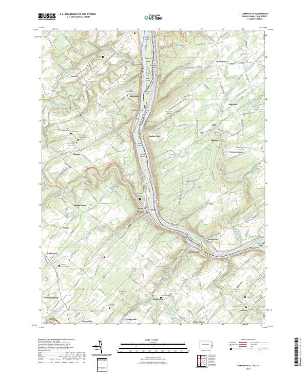
2023 Map of Lumberville
USGS Topo · Published 2023About this map
The Delaware River serves as the central artery for this border region between Pennsylvania and New Jersey, where the legacy of 19th-century transport is preserved in the parallel courses of the Pennsylvania Canal and the Delaware and Raritan Canal. Near Lumberville and Point Pleasant, the landscape is defined by the river’s winding path around numerous landforms such as Marshall Island and Treasure Island. Local history is deeply embedded in the terrain, from the heights of Devils Tea Table to the small rural centers of Carversville and Gardenville. The distribution of family and congregational landmarks, including Groveland Mennonite Cem and the Stitzinger Family Cem, provides a clear view of the area's ancestral settlement patterns. The presence of multiple small airstrips like Vansant Airport and Eagles Lair Airport suggests a modern layer of land use atop the traditional agricultural and river-based economy.
Find a feature on this map
167 named features on this map. Tap any name to fly to it.
Don’t see what you’re looking for? This feature index may not catch every label — zoom into the map to look around manually.
Map Details
Editions of this 2023 Lumberville Map
This is the sole edition of this map. No revisions or reprints were ever made.
Other maps of this area

1890 · Easton
USGS Topo · 1:62,500

1890 · High Bridge
USGS Topo · 1:62,500

1890 · Lambertville
USGS Topo · 1:62,500

1890 · Doylestown
USGS Topo · 1:62,500

1891 · Easton
USGS Topo · 1:62,500

1891 · Lambertville
USGS Topo · 1:62,500

1891 · Doylestown
USGS Topo · 1:62,500

1894 · Lambertville
USGS Topo · 1:62,500

1898 · High Bridge
USGS Topo · 1:62,500

1900 · Raritan
USGS Topo · 1:125,000
Featured Places
- Buckingham Township, PA
- Solebury Township, PA
- Bedminster Township, PA
- Tinicum Township, PA
- Kingwood Township, NJ