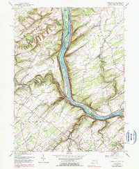
1955 Map of Lumberville
USGS Topo · Published 1990About this map
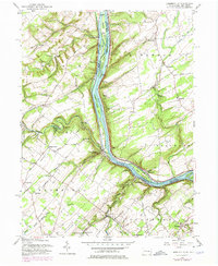
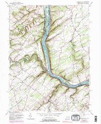
The Delaware River carves a deep valley through this mid-century landscape, serving as a prominent boundary between Bucks County, Pennsylvania, and Hunterdon County, New Jersey. The dual presence of the Pennsylvania Canal on the west bank and the Delaware and Raritan Canal on the east highlights the region's enduring transportation legacy. Settlement patterns are defined by small crossroads and riverside hamlets such as Point Pleasant and Lumberville, while the upland terrain is dotted with local institutions like the Brick Church Sch and Kingwood Ch. Along the meandering Tohickon Creek, Ralph Stover State Park and landmarks like Doans Cave indicate the area's transition toward recreation and conservation. The Penn Central tracks follow the river's curve, marking the industrial backbone that once connected these rural communities to larger markets.
Find a feature on this map
78 named features on this map. Tap any name to fly to it.
Don’t see what you’re looking for? This feature index may not catch every label — zoom into the map to look around manually.
Map Details
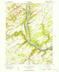
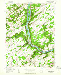
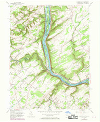
Editions of this 1955 Lumberville Map
6 editions found
Other maps of this area

1890 · Easton
USGS Topo · 1:62,500

1890 · High Bridge
USGS Topo · 1:62,500

1890 · Lambertville
USGS Topo · 1:62,500

1890 · Doylestown
USGS Topo · 1:62,500

1891 · Easton
USGS Topo · 1:62,500

1891 · Lambertville
USGS Topo · 1:62,500

1891 · Doylestown
USGS Topo · 1:62,500

1894 · Lambertville
USGS Topo · 1:62,500

1898 · High Bridge
USGS Topo · 1:62,500

1900 · Raritan
USGS Topo · 1:125,000
Featured Places
- Buckingham Township, PA
- Solebury Township, PA
- Bedminster Township, PA
- Tinicum Township, PA
- Kingwood Township, NJ