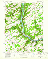
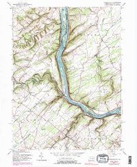
1955 Map of Lumberville
USGS Topo · Published 1961About this map
The Delaware River serves as the central artery for this mid-century portrait of the Pennsylvania-New Jersey borderlands, where the Pennsylvania Canal and Delaware Division Canal parallel the water's edge. This riverine landscape is defined by its historic transportation corridors and small crossroads settlements such as Point Pleasant and Lumberville. The presence of the Pennsylvania Railroad along the eastern bank highlights the industrial connectivity of the era, while inland, a network of rural schools like Brick Church Sch and Rocky Ridge Sch anchors the agricultural community.
Find a feature on this map
80 named features on this map. Tap any name to fly to it.
Don’t see what you’re looking for? This feature index may not catch every label — zoom into the map to look around manually.
Map Details
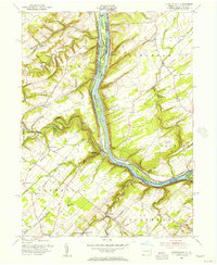
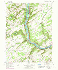
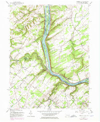
Editions of this 1955 Lumberville Map
6 editions found
Other maps of this area

1890 · Easton
USGS Topo · 1:62,500

1890 · High Bridge
USGS Topo · 1:62,500

1890 · Lambertville
USGS Topo · 1:62,500

1890 · Doylestown
USGS Topo · 1:62,500

1891 · Easton
USGS Topo · 1:62,500

1891 · Lambertville
USGS Topo · 1:62,500

1891 · Doylestown
USGS Topo · 1:62,500

1894 · Lambertville
USGS Topo · 1:62,500

1898 · High Bridge
USGS Topo · 1:62,500

1900 · Raritan
USGS Topo · 1:125,000
Featured Places
- Buckingham Township, PA
- Solebury Township, PA
- Bedminster Township, PA
- Tinicum Township, PA
- Kingwood Township, NJ