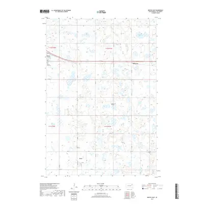
2017 Map of Bristol East
USGS Topo · Published 2017About this map
The Coteau des Prairies plateau defines this landscape in Day County, where the sprawling glacial topography creates a dense network of seasonal wetlands and small basins. The town of Bristol sits at the intersection of local routes like Co RD 18 and 4th Ave E, serving as a central hub for the surrounding agricultural sections. Further south, the village of Butler is laid out with a distinct grid including Main ST and Railway ST, reflecting the importance of rail-aligned transport in the rural Dakota economy.
Find a feature on this map
37 named features on this map. Tap any name to fly to it.
Don’t see what you’re looking for? This feature index may not catch every label — zoom into the map to look around manually.
Map Details
Editions of this 2017 Bristol East Map
This is the sole edition of this map. No revisions or reprints were ever made.
Other maps of this area

1953 · Milbank
USGS Topo · 1:250,000

1958 · Milbank
USGS Topo · 1:250,000

1958 · Pierpont
USGS Topo · 1:24,000

1973 · Lily
USGS Topo · 1:24,000

1973 · Lynn Lake
USGS Topo · 1:24,000

1973 · Webster
USGS Topo · 1:24,000

1973 · Bristol West
USGS Topo · 1:24,000

1973 · Swan Lake
USGS Topo · 1:24,000

1973 · Lone Tree Lake
USGS Topo · 1:24,000

1973 · Bristol East
USGS Topo · 1:24,000