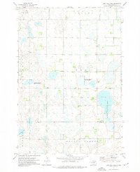
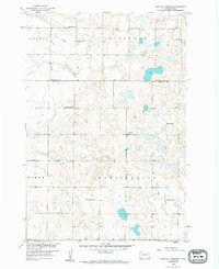
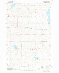
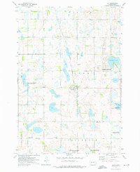
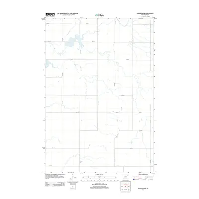
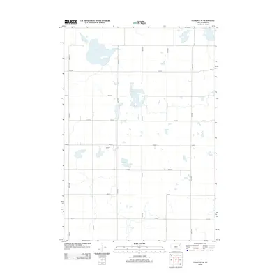
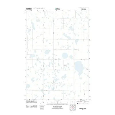
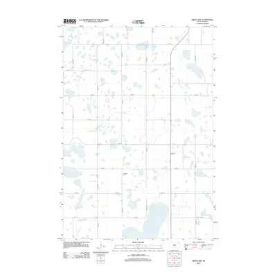
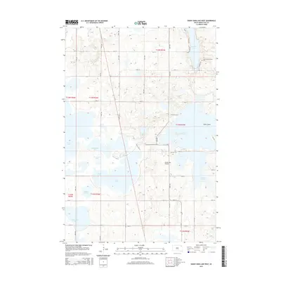
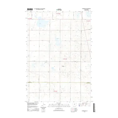
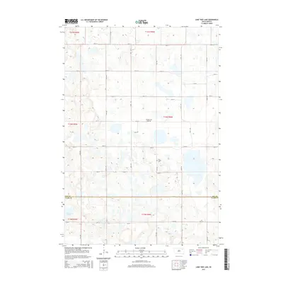
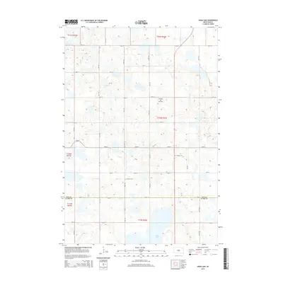
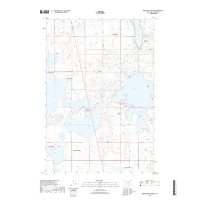
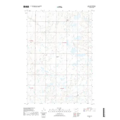
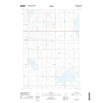
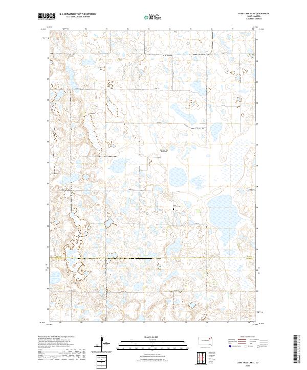
1973 Map of Lone Tree Lake
USGS Topo · Published 1976About this map
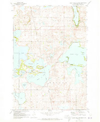
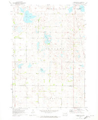
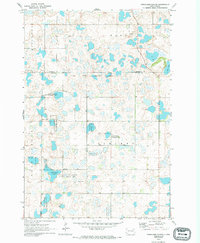
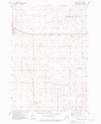
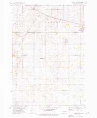
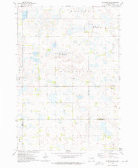
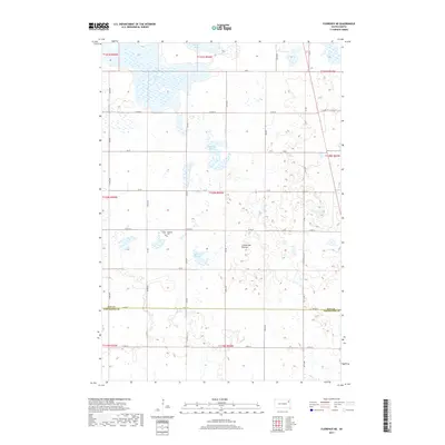
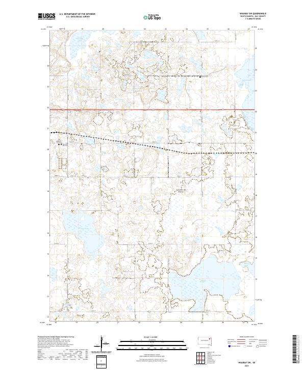
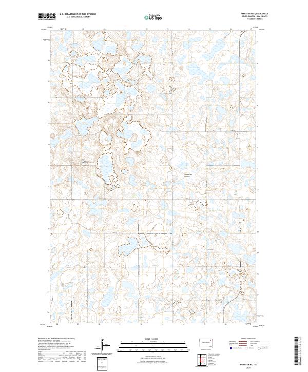
Lone Tree Lake anchors this glacial landscape along the border of Day and Clark Counties, where the prairie is defined by numerous seasonal wetlands and conservation zones. In the early 1970s, the region supported significant wildlife habitats, prominently marked by the Lily State Public Shooting Area and several sections designated as a National Waterfowl Production Area. These protected spaces are interspersed with evidence of rural pioneer heritage, such as the St Ansgar Cem and small agricultural centers like Crocker and Graves. The terrain transitions from the open plains of Scotland and Troy townships into the distinct depressions of Oak Gulch and the broad reaches of Spring Valley. Small-scale extraction is noted at a Gravel Pit, while Mud Cr provides drainage through the northern sections of the quadrangle.
Find a feature on this map
15 named features on this map. Tap any name to fly to it.
Don’t see what you’re looking for? This feature index may not catch every label — zoom into the map to look around manually.
Map Details
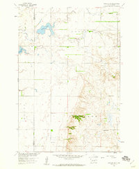
Editions of this 1973 Lone Tree Lake Map
This is the sole edition of this map. No revisions or reprints were ever made.
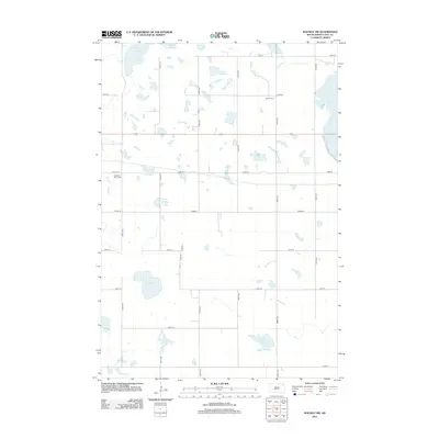
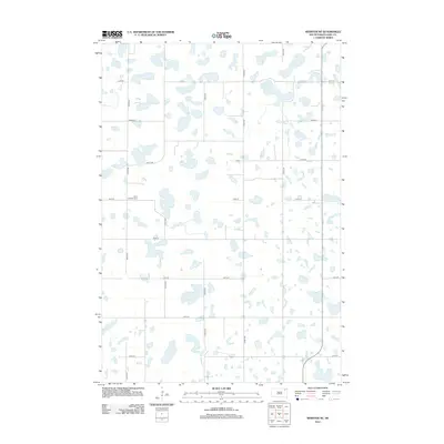
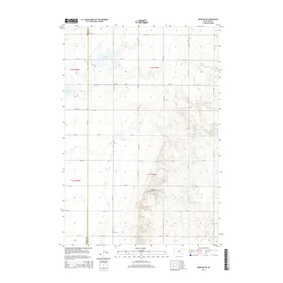
Historical Maps of Clark County Through Time
80 maps found
1958 Andover SW
Day County, SD
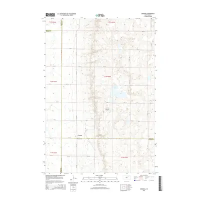
1958 Crandall
Day County, SD
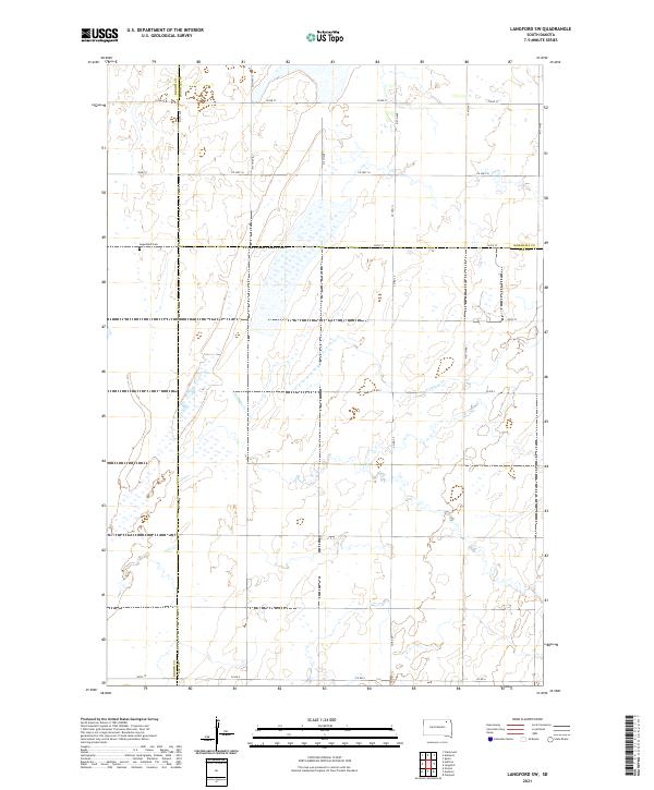
1958 Langford SW
Day County, SD
1958 Rose Hill Cemetery
Day County, SD
1970 Enemy Swim Lake West
Day County, SD
1970 Florence NE
Day County, SD
1970 Stangland Slough
Day County, SD
1970 Waubay SW
Day County, SD
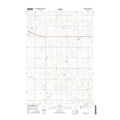
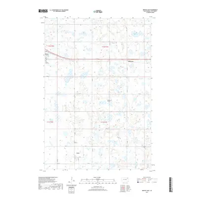
1973 Bristol East
Day County, SD
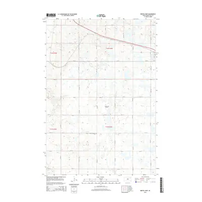
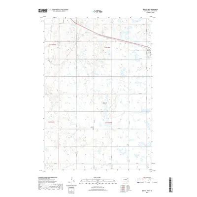
1973 Bristol West
Day County, SD
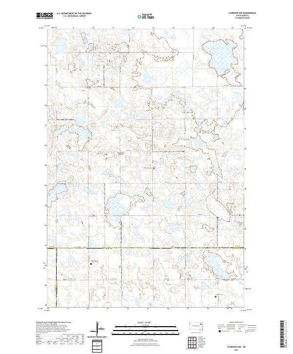
1973 Florence NW
Day County, SD
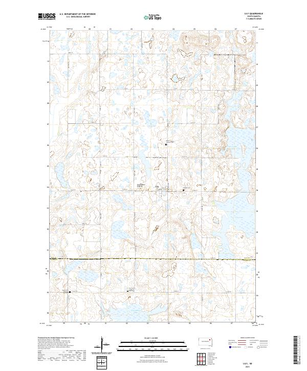
1973 Lily
Day County, SD
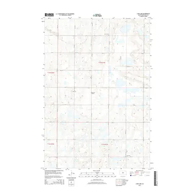
1973 Lone Tree Lake
Day County, SD
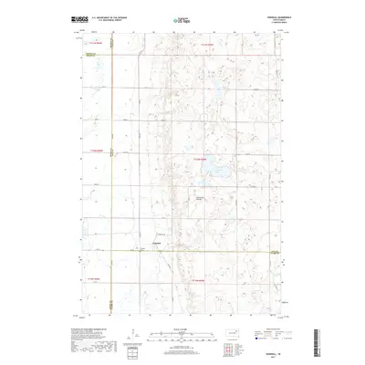
1973 Lynn Lake
Day County, SD
1973 Swan Lake
Day County, SD
1973 Webster NE
Day County, SD
2012 Andover SW
Day County, SD
2012 Bristol East
Day County, SD
2012 Bristol West
Day County, SD
2012 Crandall
Day County, SD

2012 Enemy Swim Lake West
Day County, SD
2012 Florence NE
Day County, SD
2012 Florence NW
Day County, SD
2012 Langford SW
Day County, SD
2012 Lily
Day County, SD
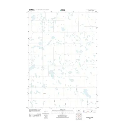
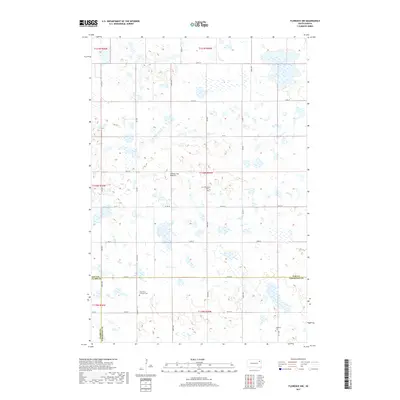
2012 Lone Tree Lake
Day County, SD
2012 Lynn Lake
Day County, SD
2012 Rose Hill Cemetery
Day County, SD
2012 Stangland Slough
Day County, SD
2012 Swan Lake
Day County, SD
2012 Waubay SW
Day County, SD
2012 Webster NE
Day County, SD
2015 Andover SW
Day County, SD
2015 Bristol East
Day County, SD
2015 Bristol West
Day County, SD
2015 Crandall
Day County, SD
2015 Enemy Swim Lake West
Day County, SD
2015 Florence NE
Day County, SD
2015 Florence NW
Day County, SD
2015 Langford SW
Day County, SD
2015 Lily
Day County, SD
2015 Lone Tree Lake
Day County, SD
2015 Lynn Lake
Day County, SD
2015 Rose Hill Cemetery
Day County, SD
2015 Stangland Slough
Day County, SD
2015 Swan Lake
Day County, SD
2015 Waubay SW
Day County, SD
2015 Webster NE
Day County, SD
2017 Andover SW
Day County, SD
2017 Bristol East
Day County, SD
2017 Bristol West
Day County, SD
2017 Crandall
Day County, SD
2017 Enemy Swim Lake West
Day County, SD
2017 Florence NE
Day County, SD
2017 Florence NW
Day County, SD
2017 Langford SW
Day County, SD

2017 Lily
Day County, SD
2017 Lone Tree Lake
Day County, SD
2017 Lynn Lake
Day County, SD
2017 Rose Hill Cemetery
Day County, SD
2017 Stangland Slough
Day County, SD
2017 Swan Lake
Day County, SD
2017 Waubay SW
Day County, SD
2017 Webster NE
Day County, SD
2021 Andover SW
Day County, SD
2021 Bristol East
Day County, SD
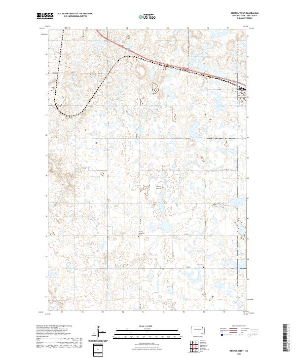
2021 Bristol West
Day County, SD
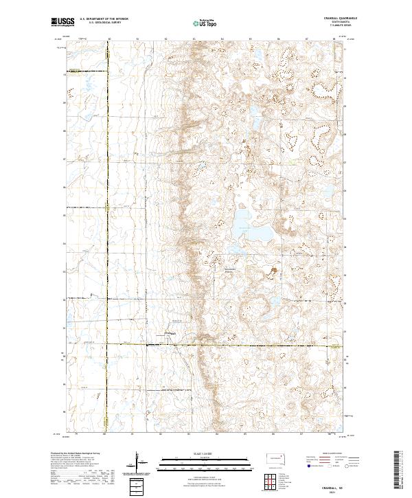
2021 Crandall
Day County, SD
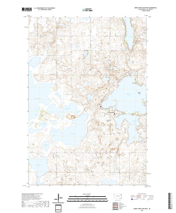
2021 Enemy Swim Lake West
Day County, SD
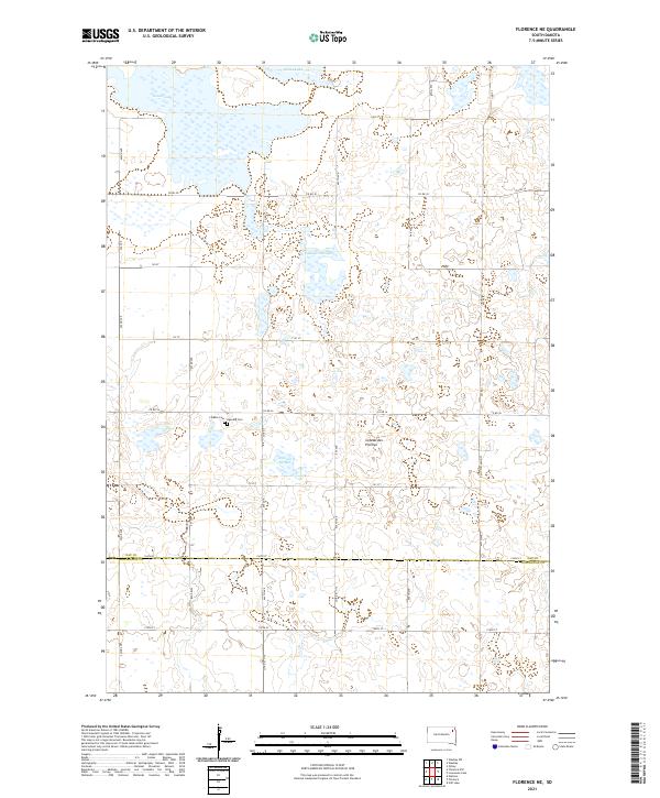
2021 Florence NE
Day County, SD
2021 Florence NW
Day County, SD
2021 Langford SW
Day County, SD
2021 Lily
Day County, SD
2021 Lone Tree Lake
Day County, SD
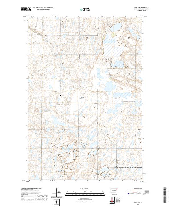
2021 Lynn Lake
Day County, SD
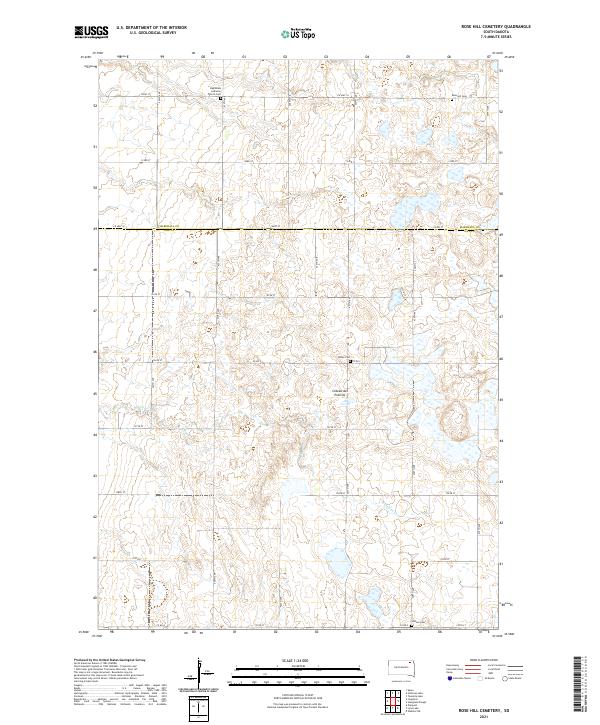
2021 Rose Hill Cemetery
Day County, SD
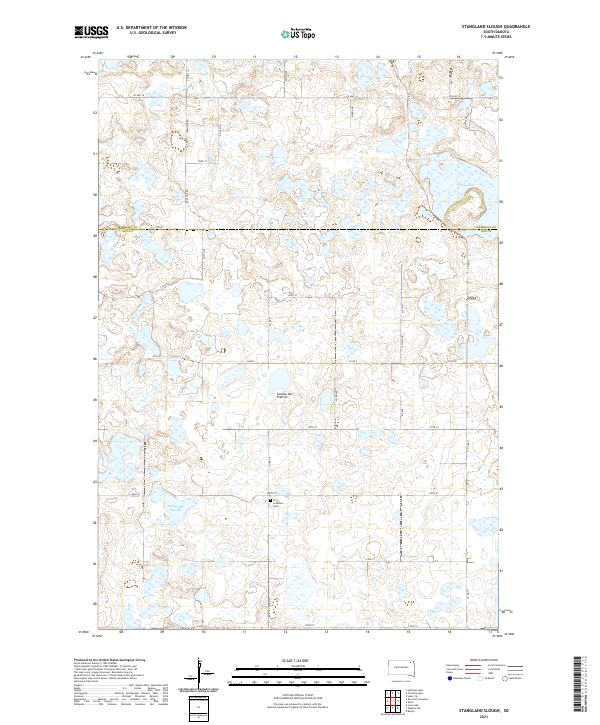
2021 Stangland Slough
Day County, SD
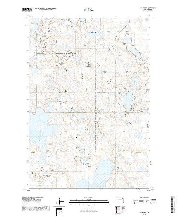
2021 Swan Lake
Day County, SD
2021 Waubay SW
Day County, SD
2021 Webster NE
Day County, SD