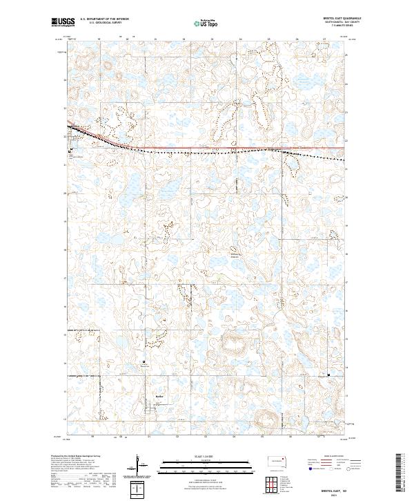
2021 Map of Bristol East
USGS Topo · Published 2021About this map
The Coteau des Prairies plateau defines the landscape of this Day County survey, characterized by the dense collection of glacial wetlands and depressions typical of eastern South Dakota. Small agricultural settlements are situated along the regional transportation corridors, with Bristol and Holmquist positioned in the north while Butler sits further south. The map provides significant detail for family historians, marking several burial grounds including Saint Anthony's Catholic Cem, Prairie Mound Cem, and Ebenezer Cem. Significant water bodies like Bitter Lake and Holmquist Slough dominate the terrain, illustrating the complex hydrography of the prairie pothole region. This 2021 edition records the established grid of county roads, such as Co RD 31 and Co RD 25, which organize the rural landscape around these small prairie towns.
Find a feature on this map
36 named features on this map. Tap any name to fly to it.
Don’t see what you’re looking for? This feature index may not catch every label — zoom into the map to look around manually.
Map Details
Editions of this 2021 Bristol East Map
This is the sole edition of this map. No revisions or reprints were ever made.
Other maps of this area

1953 · Milbank
USGS Topo · 1:250,000

1958 · Milbank
USGS Topo · 1:250,000

1958 · Pierpont
USGS Topo · 1:24,000

1973 · Lily
USGS Topo · 1:24,000

1973 · Lynn Lake
USGS Topo · 1:24,000

1973 · Webster
USGS Topo · 1:24,000

1973 · Bristol West
USGS Topo · 1:24,000

1973 · Swan Lake
USGS Topo · 1:24,000

1973 · Lone Tree Lake
USGS Topo · 1:24,000

1973 · Bristol East
USGS Topo · 1:24,000