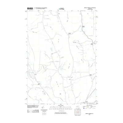
2010 Map of Bristol Springs
USGS Topo · Published 2010About this map
Naples sits at the southern edge of this Finger Lakes region landscape, where the valley floor meets the rising elevations of the Bristol Hills. The terrain is defined by a series of prominent ridges and deep gullies, including Worden Hill and Quail Hill in the north, stretching down toward High Point in the south. These highlands are bisected by numerous watercourses such as Grimes Creek and Mud Creek, which carve through the glacial till to create local landmarks like Briggs Gully.
Find a feature on this map
65 named features on this map. Tap any name to fly to it.
Don’t see what you’re looking for? This feature index may not catch every label — zoom into the map to look around manually.
Map Details
Editions of this 2010 Bristol Springs Map
This is the sole edition of this map. No revisions or reprints were ever made.
Other maps of this area

1900 · Naples
USGS Topo · 1:62,500

1900 · Canandaigua
USGS Topo · 1:62,500

1901 · Honeoye
USGS Topo · 1:62,500

1902 · Wayland
USGS Topo · 1:62,500

1903 · Naples
USGS Topo · 1:62,500

1903 · Canandaigua
USGS Topo · 1:62,500

1904 · Wayland
USGS Topo · 1:62,500

1904 · Honeoye
USGS Topo · 1:62,500

1913 · Naples
USGS Topo · 1:62,500

1942 · Springwater
USGS Topo · 1:31,680