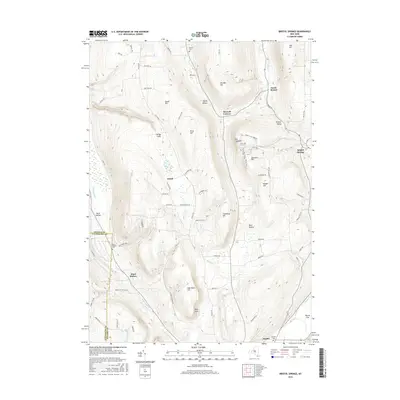
2016 Map of Bristol Springs
USGS Topo · Published 2016About this map
Honeoye Inlet snakes through the western edge of this Ontario County landscape, where the dramatic elevation changes of the Finger Lakes region are on full display. The area is defined by a series of steep ridges and deep valleys, most notably the transition from the heights of Gannett Hill and Stid Hill down to the pastoral stretches of Bristol Valley. Small settlements such as Bristol Springs and South Bristol serve as local hubs, connected by a network of rural routes like Gulick Rd and S Hill Rd.
Find a feature on this map
76 named features on this map. Tap any name to fly to it.
Don’t see what you’re looking for? This feature index may not catch every label — zoom into the map to look around manually.
Map Details
Editions of this 2016 Bristol Springs Map
This is the sole edition of this map. No revisions or reprints were ever made.
Other maps of this area

1900 · Naples
USGS Topo · 1:62,500

1900 · Canandaigua
USGS Topo · 1:62,500

1901 · Honeoye
USGS Topo · 1:62,500

1902 · Wayland
USGS Topo · 1:62,500

1903 · Naples
USGS Topo · 1:62,500

1903 · Canandaigua
USGS Topo · 1:62,500

1904 · Wayland
USGS Topo · 1:62,500

1904 · Honeoye
USGS Topo · 1:62,500

1913 · Naples
USGS Topo · 1:62,500

1942 · Springwater
USGS Topo · 1:31,680