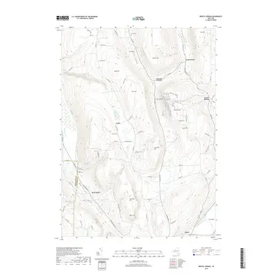
2019 Map of Bristol Springs
USGS Topo · Published 2019About this map
Bristol Valley forms the central spine of this Ontario County landscape, where the waters of Mill Cr and Mud Cr navigate between steep Finger Lakes ridges. In the southeast, the village of Naples sits at the foot of the valley, while smaller settlements like Bristol Springs and Boswell Corners occupy higher ground to the north. The area is defined by its significant vertical relief, peaking at heights like Gannett Hill and the dramatic overlook known as The Jumpoff.
Find a feature on this map
86 named features on this map. Tap any name to fly to it.
Don’t see what you’re looking for? This feature index may not catch every label — zoom into the map to look around manually.
Map Details
Editions of this 2019 Bristol Springs Map
This is the sole edition of this map. No revisions or reprints were ever made.
Other maps of this area

1900 · Naples
USGS Topo · 1:62,500

1900 · Canandaigua
USGS Topo · 1:62,500

1901 · Honeoye
USGS Topo · 1:62,500

1902 · Wayland
USGS Topo · 1:62,500

1903 · Naples
USGS Topo · 1:62,500

1903 · Canandaigua
USGS Topo · 1:62,500

1904 · Wayland
USGS Topo · 1:62,500

1904 · Honeoye
USGS Topo · 1:62,500

1913 · Naples
USGS Topo · 1:62,500

1942 · Springwater
USGS Topo · 1:31,680