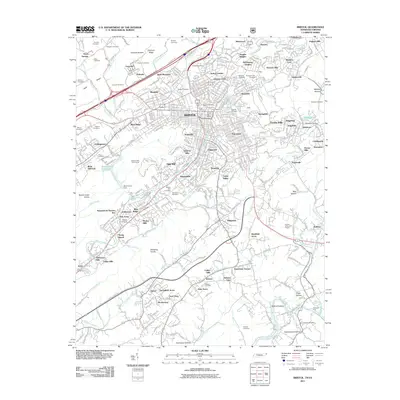
2011 Map of Bristol
USGS Topo · Published 2011About this map
Bristol serves as the focal point of this 2011 survey, straddling the state line with a dense network of neighborhoods and industrial infrastructure. The city center is anchored by the historic Union Depot and the Bristol Post Office, while the surrounding residential landscape includes established communities like Sugarville, Fairmont, and West Ridge. To the south, the terrain becomes more varied with the Whitetop Knobs and the winding South Fork Holston River, which marks the lower boundary of the quadrangle.
Find a feature on this map
370 named features on this map. Tap any name to fly to it.
Don’t see what you’re looking for? This feature index may not catch every label — zoom into the map to look around manually.
Map Details
Editions of this 2011 Bristol Map
This is the sole edition of this map. No revisions or reprints were ever made.
Other maps of this area

1891 · Roan Mountain
USGS Topo · 1:125,000

1894 · Roan Mountain
USGS Topo · 1:125,000

1897 · Bristol
USGS Topo · 1:125,000

1902 · Bristol
USGS Topo · 1:125,000

1904 · Roan Mountain
USGS Topo · 1:125,000

1934 · Wallace
USGS Topo · 1:24,000

1934 · Holston Valley
USGS Topo · 1:24,000

1934 · Wyndale
USGS Topo · 1:24,000

1934 · Bristol
USGS Topo · 1:24,000

1935 · Watauga Valley
USGS Topo · 1:48,000