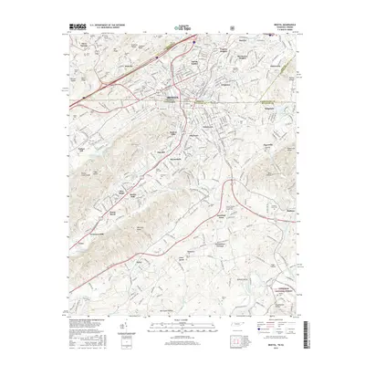
2016 Map of Bristol
USGS Topo · Published 2016About this map
Bristol straddles the high ground where Virginia and Tennessee meet, serving as a complex urban hub defined by its dual-state identity. The landscape is carved by water, with Beaver Creek and Steele Creek winding through the city, the latter widening into Steele Creek Park Lake in the southwest. The presence of King Coll and the Southeast Culinary & Hospitality Coll underscores the area's role as an educational center, while numerous burial grounds like Shelby Hills Cem and the Eastern Heights Presbyterian Church Cem offer significant genealogical interest.
Find a feature on this map
97 named features on this map. Tap any name to fly to it.
Don’t see what you’re looking for? This feature index may not catch every label — zoom into the map to look around manually.
Map Details
Editions of this 2016 Bristol Map
This is the sole edition of this map. No revisions or reprints were ever made.
Other maps of this area

1891 · Roan Mountain
USGS Topo · 1:125,000

1894 · Roan Mountain
USGS Topo · 1:125,000

1897 · Bristol
USGS Topo · 1:125,000

1902 · Bristol
USGS Topo · 1:125,000

1904 · Roan Mountain
USGS Topo · 1:125,000

1934 · Wallace
USGS Topo · 1:24,000

1934 · Holston Valley
USGS Topo · 1:24,000

1934 · Wyndale
USGS Topo · 1:24,000

1934 · Bristol
USGS Topo · 1:24,000

1935 · Watauga Valley
USGS Topo · 1:48,000