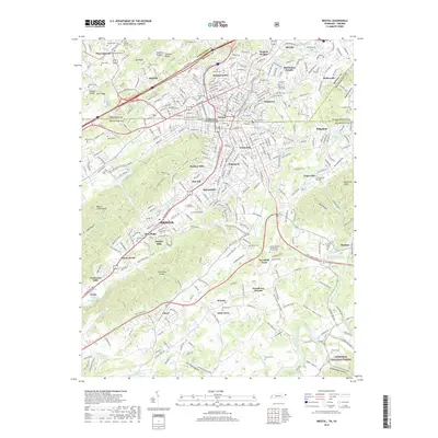
2019 Map of Bristol
USGS Topo · Published 2019About this map
Bristol straddles the state line between Tennessee and Virginia, anchoring a landscape where industrial corridors meet the Appalachian foothills. The urban center is surrounded by established neighborhoods like Fairmount, Virginia Heights, and Tennessee Hills, reflecting decades of residential expansion. To the south and east, the terrain becomes more defined by the ridges and knobs of the Cherokee National Forest and the South Fork Holston River valley.
Find a feature on this map
88 named features on this map. Tap any name to fly to it.
Don’t see what you’re looking for? This feature index may not catch every label — zoom into the map to look around manually.
Map Details
Editions of this 2019 Bristol Map
This is the sole edition of this map. No revisions or reprints were ever made.
Other maps of this area

1891 · Roan Mountain
USGS Topo · 1:125,000

1894 · Roan Mountain
USGS Topo · 1:125,000

1897 · Bristol
USGS Topo · 1:125,000

1902 · Bristol
USGS Topo · 1:125,000

1904 · Roan Mountain
USGS Topo · 1:125,000
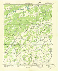
1934 · Wallace
USGS Topo · 1:24,000
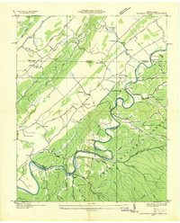
1934 · Holston Valley
USGS Topo · 1:24,000
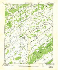
1934 · Wyndale
USGS Topo · 1:24,000
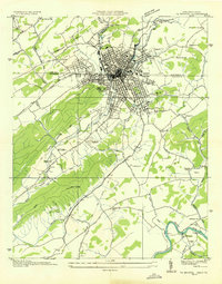
1934 · Bristol
USGS Topo · 1:24,000
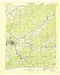
1935 · Watauga Valley
USGS Topo · 1:48,000