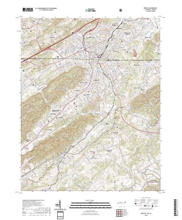
2022 Map of Bristol
USGS Topo · Published 2022About this map
The twin cities of Bristol sit at the intersection of Tennessee and Virginia, where the urban grid meets the steep ridges of the Cherokee National Forest. This modern cartographic study documents the expansion of neighborhoods like Fairmount, Holston Hills, and Haynesfield as they weave between the drainage of Beaver Creek and the South Fork Holston River. The map highlights a high density of family and community burial grounds, including the Bristol City Cemetery, Shelby Hills Cem, and the historic Paperville Cem, reflecting the deep-rooted genealogical heritage of this border region.
Find a feature on this map
102 named features on this map. Tap any name to fly to it.
Don’t see what you’re looking for? This feature index may not catch every label — zoom into the map to look around manually.
Map Details
Editions of this 2022 Bristol Map
This is the sole edition of this map. No revisions or reprints were ever made.
Other maps of this area

1891 · Roan Mountain
USGS Topo · 1:125,000

1894 · Roan Mountain
USGS Topo · 1:125,000

1897 · Bristol
USGS Topo · 1:125,000

1902 · Bristol
USGS Topo · 1:125,000

1904 · Roan Mountain
USGS Topo · 1:125,000

1934 · Wallace
USGS Topo · 1:24,000

1934 · Holston Valley
USGS Topo · 1:24,000

1934 · Wyndale
USGS Topo · 1:24,000

1934 · Bristol
USGS Topo · 1:24,000

1935 · Watauga Valley
USGS Topo · 1:48,000