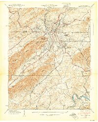
1938 Map of Bristol
USGS Topo · Published 1938About this map
Bristol straddles the state line in this 1938 survey, revealing a landscape defined by collegiate institutions and significant transportation infrastructure. The map documents the urban development of the twin cities, anchored by Sullins College, Virginia Intermont College, and King College. Industry and commerce are evident in the presence of the Beidleman Mill, Ratledge Store, and a Barite mine. The transit network is particularly dense, showing the Southern and Norfolk And Western railroad corridors alongside the prominent Lee Highway.
Find a feature on this map
76 named features on this map. Tap any name to fly to it.
Don’t see what you’re looking for? This feature index may not catch every label — zoom into the map to look around manually.
Map Details
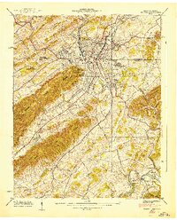
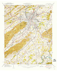
Editions of this 1938 Bristol Map
3 editions found
Other maps of this area

1891 · Roan Mountain
USGS Topo · 1:125,000

1894 · Roan Mountain
USGS Topo · 1:125,000

1897 · Bristol
USGS Topo · 1:125,000

1902 · Bristol
USGS Topo · 1:125,000

1904 · Roan Mountain
USGS Topo · 1:125,000

1934 · Wallace
USGS Topo · 1:24,000

1934 · Holston Valley
USGS Topo · 1:24,000

1934 · Wyndale
USGS Topo · 1:24,000

1934 · Bristol
USGS Topo · 1:24,000

1935 · Watauga Valley
USGS Topo · 1:48,000