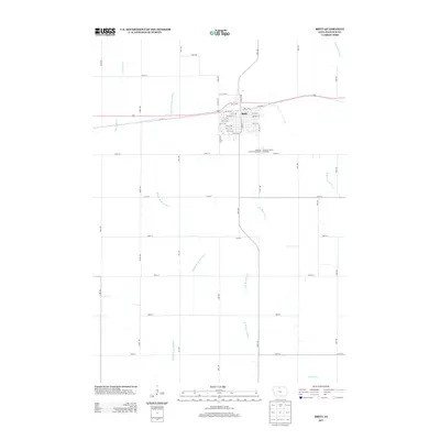
2013 Map of Britt
USGS Topo · Published 2013About this map
The town of Britt serves as the focal point of this Hancock County landscape, where the local street grid is interrupted by the prominent angling path of Diagonal St. On the southern edge of town, the Hancock County Fairgrounds and the Hancock County Speedway mark the intersection of community life and regional recreation. Further south, the map reveals the small settlement of Laconia, situated near where the land begins to drain toward the various branches of the regional river systems.
Find a feature on this map
49 named features on this map. Tap any name to fly to it.
Don’t see what you’re looking for? This feature index may not catch every label — zoom into the map to look around manually.
Map Details
Editions of this 2013 Britt Map
This is the sole edition of this map. No revisions or reprints were ever made.
Other maps of this area

1954 · Mason City
USGS Topo · 1:250,000

1954 · Waterloo
USGS Topo · 1:250,000

1955 · Waterloo
USGS Topo · 1:250,000

1957 · Mason City
USGS Topo · 1:250,000

1958 · Mason City
USGS Topo · 1:250,000

1972 · Corwith
USGS Topo · 1:24,000

1972 · Kanawha
USGS Topo · 1:24,000

1972 · Hayfield
USGS Topo · 1:24,000

1972 · Olaf
USGS Topo · 1:24,000

1972 · Crystal Lake
USGS Topo · 1:24,000