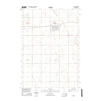
2015 Map of Britt
USGS Topo · Published 2015About this map
The town of Britt serves as the central hub for this portion of Hancock County, positioned where the headwaters of several major drainage systems diverge across the Iowa prairie. The landscape is defined by the slow-moving upper reaches of the Boone River system, including the Middle Br Boone River and East Br Boone River, while the eastern portion of the quadrangle marks the early course of the West Br Iowa River. This hydrological divide created a fertile agricultural environment early on, supported by a dense grid of farm-to-market roads like Iowa Ave and Grant Ave. Local history is anchored by established sites such as Evergreen Cem on the northern edge of town and Saint Patricks Cem to the southeast, while the detailed street plan of Britt reveals a classic Midwestern rail-aligned settlement pattern.
Find a feature on this map
58 named features on this map. Tap any name to fly to it.
Don’t see what you’re looking for? This feature index may not catch every label — zoom into the map to look around manually.
Map Details
Editions of this 2015 Britt Map
This is the sole edition of this map. No revisions or reprints were ever made.
Other maps of this area

1954 · Mason City
USGS Topo · 1:250,000

1954 · Waterloo
USGS Topo · 1:250,000

1955 · Waterloo
USGS Topo · 1:250,000

1957 · Mason City
USGS Topo · 1:250,000

1958 · Mason City
USGS Topo · 1:250,000

1972 · Corwith
USGS Topo · 1:24,000

1972 · Kanawha
USGS Topo · 1:24,000

1972 · Hayfield
USGS Topo · 1:24,000

1972 · Olaf
USGS Topo · 1:24,000

1972 · Crystal Lake
USGS Topo · 1:24,000