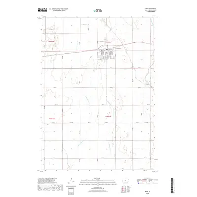
2018 Map of Britt
USGS Topo · Published 2018About this map
Britt serves as the central hub of this Hancock County landscape, where the rectilinear grid of Iowa farm roads meets a complex network of waterways. The town's detailed street plan, including Center St W and Diagonal St, reflects an organized agricultural center surrounded by fertile plains. This 2018 survey reveals how the local geography is defined by the headwaters and branches of major regional rivers, with the Boone River and its tributaries, the Middle Br Boone River and E Br Boone River, carving subtle drainage patterns across the terrain.
Find a feature on this map
59 named features on this map. Tap any name to fly to it.
Don’t see what you’re looking for? This feature index may not catch every label — zoom into the map to look around manually.
Map Details
Editions of this 2018 Britt Map
This is the sole edition of this map. No revisions or reprints were ever made.
Other maps of this area

1954 · Mason City
USGS Topo · 1:250,000

1954 · Waterloo
USGS Topo · 1:250,000

1955 · Waterloo
USGS Topo · 1:250,000

1957 · Mason City
USGS Topo · 1:250,000

1958 · Mason City
USGS Topo · 1:250,000

1972 · Corwith
USGS Topo · 1:24,000

1972 · Kanawha
USGS Topo · 1:24,000

1972 · Hayfield
USGS Topo · 1:24,000

1972 · Olaf
USGS Topo · 1:24,000

1972 · Crystal Lake
USGS Topo · 1:24,000