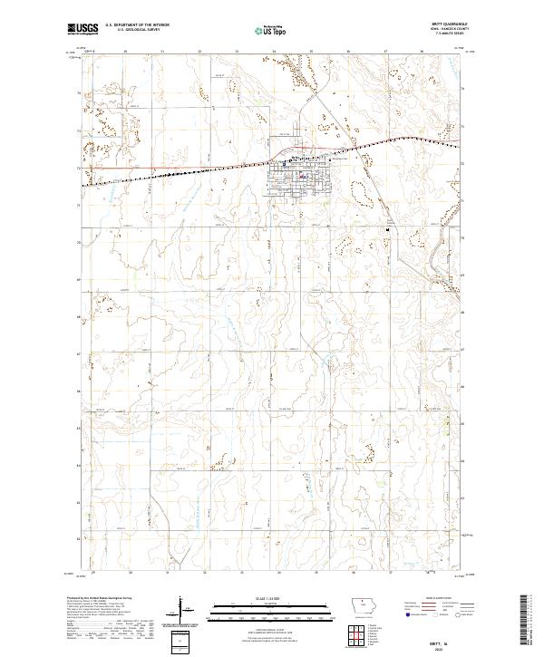
2022 Map of Britt
USGS Topo · Published 2022About this map
Britt serves as the central hub of this Hancock County landscape, where a grid of streets and avenues like Grant Ave meet the east-west corridor of Center St W and Center St E. The surrounding territory is defined by a dense network of watercourses, including the Boone River and its various tributaries such as the Middle Br Boone River and E Br Boone River. To the northeast, the W Br Iowa River cuts through the township, while Wolf Slough and W Otter Cr drain the southern and eastern reaches.
Find a feature on this map
68 named features on this map. Tap any name to fly to it.
Don’t see what you’re looking for? This feature index may not catch every label — zoom into the map to look around manually.
Map Details
Editions of this 2022 Britt Map
This is the sole edition of this map. No revisions or reprints were ever made.
Other maps of this area

1954 · Mason City
USGS Topo · 1:250,000

1954 · Waterloo
USGS Topo · 1:250,000

1955 · Waterloo
USGS Topo · 1:250,000

1957 · Mason City
USGS Topo · 1:250,000

1958 · Mason City
USGS Topo · 1:250,000

1972 · Corwith
USGS Topo · 1:24,000

1972 · Kanawha
USGS Topo · 1:24,000

1972 · Hayfield
USGS Topo · 1:24,000

1972 · Olaf
USGS Topo · 1:24,000

1972 · Crystal Lake
USGS Topo · 1:24,000