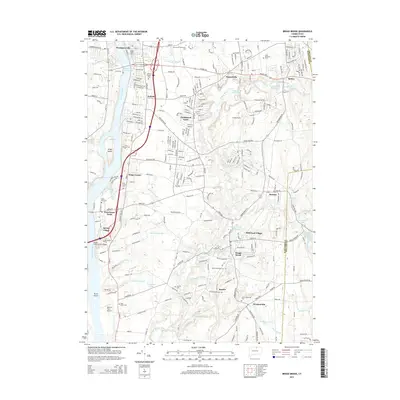
2015 Map of Broad Brook
USGS Topo · Published 2015About this map
The Connecticut River defines the western edge of this landscape, separating the riverfront communities from the interior uplands of the Hartford and Tolland county line. Densely settled areas like Thompsonville, Enfield, and Hazardville show a complex grid of residential and industrial development, while the southern reaches near Windsorville and Scantic retain a more open character dominated by small watercourses like Ketch Brook and Scantic River.
Find a feature on this map
158 named features on this map. Tap any name to fly to it.
Don’t see what you’re looking for? This feature index may not catch every label — zoom into the map to look around manually.
Map Details
Editions of this 2015 Broad Brook Map
This is the sole edition of this map. No revisions or reprints were ever made.
Other maps of this area

1886 · Springfield
USGS Topo · 1:62,500

1887 · Palmer
USGS Topo · 1:62,500

1889 · Springfield
USGS Topo · 1:62,500

1889 · Palmer
USGS Topo · 1:62,500

1892 · Hartford
USGS Topo · 1:62,500

1892 · Tolland
USGS Topo · 1:62,500

1893 · Springfield
USGS Topo · 1:62,500

1893 · Palmer
USGS Topo · 1:62,500

1895 · Springfield
USGS Topo · 1:62,500

1896 · Holyoke
USGS Topo · 1:125,000