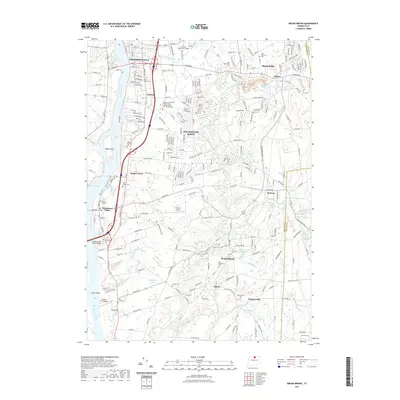
2021 Map of Broad Brook
USGS Topo · Published 2021About this map
Thompsonville and Enfield anchor the northwestern reaches of this survey along the Connecticut River, where the Enfield Falls and Kings Island interrupt the waterway. The landscape is defined by its deep agricultural and industrial roots, seen in the numerous mill-related water bodies like Broad Brook Millpond and Sadds Mill Pond. A high density of local cemeteries, including Enfield Street Cem and Saint Catherines Cem, provides a detailed record for genealogists and local historians. The eastern half of the map transitions into the established communities of Hazardville and Scitico along the Scantic River. Aviation history is present through Skylark Airpark and Roberts Farm Airport, while the Dexter Coffin Junior Bridge serves as a modern connection across the river toward Warehouse Point.
Find a feature on this map
269 named features on this map. Tap any name to fly to it.
Don’t see what you’re looking for? This feature index may not catch every label — zoom into the map to look around manually.
Map Details
Editions of this 2021 Broad Brook Map
This is the sole edition of this map. No revisions or reprints were ever made.
Other maps of this area

1886 · Springfield
USGS Topo · 1:62,500

1887 · Palmer
USGS Topo · 1:62,500

1889 · Springfield
USGS Topo · 1:62,500

1889 · Palmer
USGS Topo · 1:62,500

1892 · Hartford
USGS Topo · 1:62,500

1892 · Tolland
USGS Topo · 1:62,500

1893 · Springfield
USGS Topo · 1:62,500

1893 · Palmer
USGS Topo · 1:62,500

1895 · Springfield
USGS Topo · 1:62,500

1896 · Holyoke
USGS Topo · 1:125,000