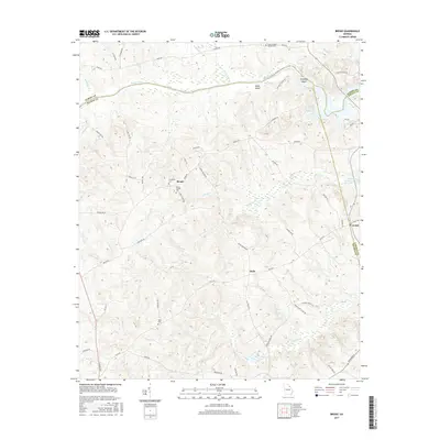
2017 Map of Broad
USGS Topo · Published 2017About this map
The Broad River winds through the heart of this Northeast Georgia landscape, defining the jagged border between Elbert, Wilkes, and Lincoln counties. This rural interior is marked by the quiet settlements of Broad and Delhi, connected by a network of winding roads like Broad Rd and Delhi Rd. The geography shifts as the river enters the J. Strom Thurmond Reservoir, where the water broadens around Green Island and flows past the natural obstacle of Anthony Shoals. Genealogists and local historians will find several burial sites including Cades Chapel Baptist Cem, Popes Chapel Cem, and Tabor Cem. Numerous smaller waterways like Pistol Cr and Newford Cr carve through the terrain, illustrating the complex drainage patterns of the Savannah River basin in this region.
Find a feature on this map
62 named features on this map. Tap any name to fly to it.
Don’t see what you’re looking for? This feature index may not catch every label — zoom into the map to look around manually.
Map Details
Editions of this 2017 Broad Map
This is the sole edition of this map. No revisions or reprints were ever made.
Other maps of this area

1893 · Elberton
USGS Topo · 1:125,000

1906 · Crawfordville
USGS Topo · 1:125,000

1953 · Athens
USGS Topo · 1:250,000

1954 · Metasville
USGS Topo · 1:24,000

1954 · Greenville
USGS Topo · 1:250,000

1955 · Tignall
USGS Topo · 1:24,000

1955 · Broad
USGS Topo · 1:24,000

1955 · Chennault
USGS Topo · 1:24,000

1958 · Greenville
USGS Topo · 1:250,000

1958 · Athens
USGS Topo · 1:250,000