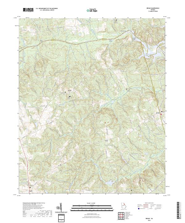
2024 Map of Broad
USGS Topo · Published 2024About this map
The Broad River defines the landscape of this northeastern Georgia corridor, serving as the historical boundary between Elbert and Wilkes counties. This area is characterized by a high density of rural burial grounds and places of worship, including Gades Chapel Baptist Cem, Popes Chapel Cem, and Friendship Cem, which often represent the center of small communities like Broad. The mapping of Bakers Ferry and Anthony Ferry along the river highlights old transportation points that once connected these agricultural hinterlands. To the east, the waters of the river expand into the J. Strom Thurmond Reservoir, signaling the transition from free-flowing river to controlled basin near Anthony Shoals. The southern portion of the quadrangle includes the small settlement of Tignall and the community of Delhi, where the terrain is segmented by numerous watercourses such as Newford Creek and Pistol Creek.
Find a feature on this map
72 named features on this map. Tap any name to fly to it.
Don’t see what you’re looking for? This feature index may not catch every label — zoom into the map to look around manually.
Map Details
Editions of this 2024 Broad Map
This is the sole edition of this map. No revisions or reprints were ever made.
Other maps of this area

1893 · Elberton
USGS Topo · 1:125,000

1906 · Crawfordville
USGS Topo · 1:125,000

1953 · Athens
USGS Topo · 1:250,000

1954 · Metasville
USGS Topo · 1:24,000

1954 · Greenville
USGS Topo · 1:250,000

1955 · Tignall
USGS Topo · 1:24,000

1955 · Broad
USGS Topo · 1:24,000

1955 · Chennault
USGS Topo · 1:24,000

1958 · Greenville
USGS Topo · 1:250,000

1958 · Athens
USGS Topo · 1:250,000