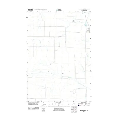
2011 Map of Broadview West
USGS Topo · Published 2011About this map
Broadview sits at the eastern edge of this High Plains landscape, where the town's local services like the Broadview Vol Fire Dept anchor a region defined by agricultural water management. The terrain is crisscrossed by seasonal drainages, most notably Sand Creek and the southern reaches of Comanche Creek. These waterways are shaped by local infrastructure, including the curious Nowhere Dam and Conover Number 2 Dam.
Find a feature on this map
25 named features on this map. Tap any name to fly to it.
Don’t see what you’re looking for? This feature index may not catch every label — zoom into the map to look around manually.
Map Details
Editions of this 2011 Broadview West Map
This is the sole edition of this map. No revisions or reprints were ever made.
Other maps of this area

1889 · Big Snowy Mountain
USGS Topo · 1:250,000

1892 · Stillwater
USGS Topo · 1:125,000

1893 · Big Snowy Mountain
USGS Topo · 1:250,000

1954 · Billings
USGS Topo · 1:250,000

1954 · Roundup
USGS Topo · 1:250,000

1956 · Comanche
USGS Topo · 1:24,000

1956 · Wheat Basin
USGS Topo · 1:24,000

1956 · Rock Spring
USGS Topo · 1:24,000

1957 · Billings
USGS Topo · 1:250,000

1958 · Billings
USGS Topo · 1:250,000