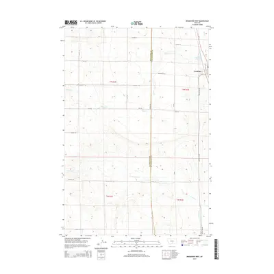
2014 Map of Broadview West
USGS Topo · Published 2014About this map
Broadview serves as the primary settlement hub for this high plains landscape at the border of Stillwater and Yellowstone counties. The town site is situated near Broadview Pond and is connected by a rigorous grid of section-line roads, including Buffalo Trail Rd and Conover Rd. The drainage patterns of the area are defined by several seasonal watercourses, most notably Sand Creek, Gooseneck Creek, and Comanche Creek. This topographic record illustrates a late-frontier agricultural layout where named thoroughfares like Lehfeldt Road and Franks Road provide access to remote townships. The intersection of these routes and the presence of localized water sources suggest a landscape centered on ranching and dryland farming during the early 21st century.
Find a feature on this map
27 named features on this map. Tap any name to fly to it.
Don’t see what you’re looking for? This feature index may not catch every label — zoom into the map to look around manually.
Map Details
Editions of this 2014 Broadview West Map
This is the sole edition of this map. No revisions or reprints were ever made.
Other maps of this area

1889 · Big Snowy Mountain
USGS Topo · 1:250,000

1892 · Stillwater
USGS Topo · 1:125,000

1893 · Big Snowy Mountain
USGS Topo · 1:250,000

1954 · Billings
USGS Topo · 1:250,000

1954 · Roundup
USGS Topo · 1:250,000

1956 · Comanche
USGS Topo · 1:24,000

1956 · Wheat Basin
USGS Topo · 1:24,000

1956 · Rock Spring
USGS Topo · 1:24,000

1957 · Billings
USGS Topo · 1:250,000

1958 · Billings
USGS Topo · 1:250,000