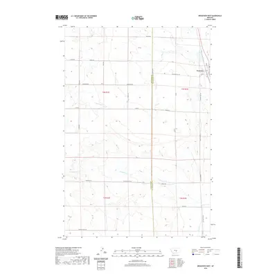
2020 Map of Broadview West
USGS Topo · Published 2020About this map
Broadview serves as the primary hub in this eastern Montana landscape, situated at the edge of the Stillwater and Yellowstone County line. The settlement's local services are anchored by a Po on 6th St, while the surrounding prairie is defined by a grid of rural roads named for early families and geography, such as Conover Rd and Arnold Rd. This modern survey reveals a dry-land agricultural character where seasonal drainage is managed through intermittent watercourses like Gooseneck Cr and the winding Comanche Cr. The road network, including the evocative Buffalo Trail Rd and Pleasant Valley Rd, highlights the enduring layout of township and range divisions. The map captures the transition between t4n r22e and t4n r23e, illustrating how modern infrastructure follows the paths established by early cattle ranching and homesteading efforts.
Find a feature on this map
30 named features on this map. Tap any name to fly to it.
Don’t see what you’re looking for? This feature index may not catch every label — zoom into the map to look around manually.
Map Details
Editions of this 2020 Broadview West Map
This is the sole edition of this map. No revisions or reprints were ever made.
Other maps of this area

1889 · Big Snowy Mountain
USGS Topo · 1:250,000

1892 · Stillwater
USGS Topo · 1:125,000

1893 · Big Snowy Mountain
USGS Topo · 1:250,000

1954 · Billings
USGS Topo · 1:250,000

1954 · Roundup
USGS Topo · 1:250,000

1956 · Comanche
USGS Topo · 1:24,000

1956 · Wheat Basin
USGS Topo · 1:24,000

1956 · Rock Spring
USGS Topo · 1:24,000

1957 · Billings
USGS Topo · 1:250,000

1958 · Billings
USGS Topo · 1:250,000