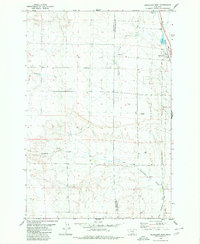
1980 Map of Broadview West
USGS Topo · Published 1980About this map
Broadview sits at the high point of this high plains landscape, straddling the county line between Stillwater and Yellowstone Counties. Mapping from the mid-1970s reveals a region defined by its vital water sources and rail access, with the Burlington Northern line running north-south through the eastern corridor. The terrain is deeply etched by a network of seasonal drainages, including Gooseneck Creek and Comanche Creek, which flow through the undulating rangeland. The presence of the Buffalo Trail running parallel to the tracks suggests a long-standing transit corridor through this portion of Montana. Small-scale industrial activity is limited to a solitary Gravel Pit and several wells, while Broadview Pond and Alkali Pond serve as significant landmarks in an otherwise arid expanse of township and range sections.
Find a feature on this map
14 named features on this map. Tap any name to fly to it.
Don’t see what you’re looking for? This feature index may not catch every label — zoom into the map to look around manually.
Map Details
Editions of this 1980 Broadview West Map
This is the sole edition of this map. No revisions or reprints were ever made.
Other maps of this area

1889 · Big Snowy Mountain
USGS Topo · 1:250,000

1892 · Stillwater
USGS Topo · 1:125,000

1893 · Big Snowy Mountain
USGS Topo · 1:250,000

1954 · Billings
USGS Topo · 1:250,000

1954 · Roundup
USGS Topo · 1:250,000

1956 · Comanche
USGS Topo · 1:24,000

1956 · Wheat Basin
USGS Topo · 1:24,000

1956 · Rock Spring
USGS Topo · 1:24,000

1957 · Billings
USGS Topo · 1:250,000

1958 · Billings
USGS Topo · 1:250,000