2021 Map of Brock
USGS Topo · Published 2021About this map
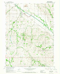
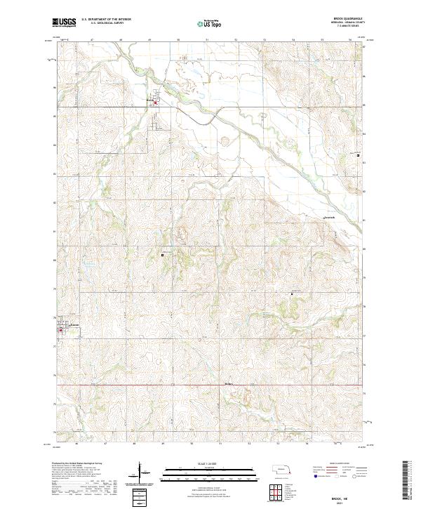
The Little Nemaha River snakes across the northern portion of this Nemaha County landscape, defining the topography near the village of Brock. The surrounding terrain is heavily dissected by numerous watercourses, including Houchen Cr, Plum Run, and Longs Cr, which drain into the larger river system. Agricultural life is centered around small rural settlements such as Johnson in the southwest and the community of Rohrs further east. The map provides significant detail for genealogists and local historians, pinpointing several established burial grounds including Clifton Cem, Linden Cem, and Glenrock Cem. Modern infrastructure is represented by the Dominey Reservoir and a grid of rural roads like 731 RD and 734 RD that connect these agrarian hubs. The distribution of these features reflects the long-standing settlement patterns of southeastern Nebraska, where small towns grew in relation to the fertile creek valleys and early section-line road networks.
Find a feature on this map
31 named features on this map. Tap any name to fly to it.
Don’t see what you’re looking for? This feature index may not catch every label — zoom into the map to look around manually.
Map Details
Editions of this 2021 Brock Map
This is the sole edition of this map. No revisions or reprints were ever made.
Historical Maps of Johnson Through Time
5 maps found