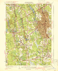
1941 Map of Brockton
USGS Topo · Published 1941About this map
Industrial and residential development in southeastern Massachusetts is centered here on the bustling hub of Brockton, shown just before the United States entered the second World War. The map details a landscape where heavy rail infrastructure from the New York New Haven and Hartford railroad supports established neighborhoods like Montello and Campello. Beyond the urban grid, the geography shifts into the lowlands of the Hockomock Swamp and specialized agricultural features such as Meadow Lea Bog. Notable institutional landmarks are captured in detail, including the Howard Seminary and the Town Farm in West Bridgewater. The area's manufacturing roots are visible through water-powered sites like Shovelshop Pond in North Easton, while the emergence of modern transportation is evident at the Brockton Airport. This survey provides a precise look at the transition from concentrated mill towns to the suburban density that began to bridge the gaps between Stoughton and Easton.
Find a feature on this map
98 named features on this map. Tap any name to fly to it.
Don’t see what you’re looking for? This feature index may not catch every label — zoom into the map to look around manually.
Map Details
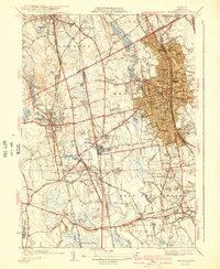
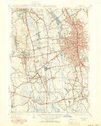
Editions of this 1941 Brockton Map
3 editions found
Other maps of this area

1885 · Abington
USGS Topo · 1:62,500

1885 · Middleboro
USGS Topo · 1:62,500

1885 · Taunton
USGS Topo · 1:62,500

1886 · Dedham
USGS Topo · 1:62,500

1888 · Taunton
USGS Topo · 1:62,500

1888 · Middleboro
USGS Topo · 1:62,500

1888 · Abington
USGS Topo · 1:62,500

1893 · Abington
USGS Topo · 1:62,500

1893 · Taunton
USGS Topo · 1:62,500

1893 · Middleboro
USGS Topo · 1:62,500