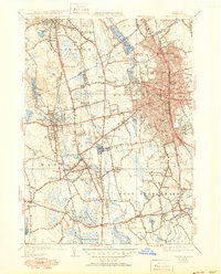
1941 Map of Brockton
USGS Topo · Published 1951About this map
Brockton emerges as a bustling industrial and transportation hub in this mid-century survey, dominated by a dense grid of residential streets and the New York New Haven and Hartford railroad line. The city's landscape is dotted with several neighborhood institutions, including the Gilmore Sch and Huntington Sch, alongside significant civic landmarks like the War Memorial. To the west, the village of North Easton retains its distinct character, centered around Shovelshop Pond and the extensive grounds of Stone Hill College.
Find a feature on this map
141 named features on this map. Tap any name to fly to it.
Don’t see what you’re looking for? This feature index may not catch every label — zoom into the map to look around manually.
Map Details
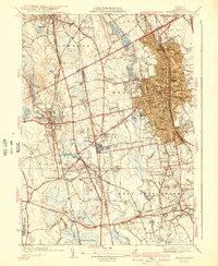
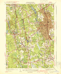
Editions of this 1941 Brockton Map
3 editions found
Other maps of this area

1885 · Abington
USGS Topo · 1:62,500

1885 · Middleboro
USGS Topo · 1:62,500

1885 · Taunton
USGS Topo · 1:62,500

1886 · Dedham
USGS Topo · 1:62,500

1888 · Taunton
USGS Topo · 1:62,500

1888 · Middleboro
USGS Topo · 1:62,500

1888 · Abington
USGS Topo · 1:62,500

1893 · Abington
USGS Topo · 1:62,500

1893 · Taunton
USGS Topo · 1:62,500

1893 · Middleboro
USGS Topo · 1:62,500