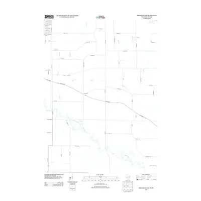
2013 Map of Brodhead East
USGS Topo · Published 2013About this map
The Sugar River meanders through the southern portion of this region, shaping the agricultural landscape of Green County during the early 2010s. This survey illustrates the transition from the structured street grid of eastern Brodhead, including 6th St and 18th St, into a rural expanse defined by section-line roads and creek drainages. Transport is anchored by the diagonal corridor of State Road 81 and the north-south route of Wi-104, which provide the primary links between farmsteads and town. The map documents numerous local watercourses such as Willow Cr, Taylor Creek, and Swan Cr, which dictate the placement of rural lanes like W Keesey Rd and Halfway Tree Rd. Aviation history is noted by the presence of the Walnut Wash Airport, while several family-named roads like S Sveom Rd and Rissum Rd hint at the area's genealogical roots.
Find a feature on this map
54 named features on this map. Tap any name to fly to it.
Don’t see what you’re looking for? This feature index may not catch every label — zoom into the map to look around manually.
Map Details
Editions of this 2013 Brodhead East Map
This is the sole edition of this map. No revisions or reprints were ever made.
Other maps of this area

1891 · Janesville
USGS Topo · 1:62,500

1893 · Janesville
USGS Topo · 1:62,500

1893 · Brodhead
USGS Topo · 1:62,500

1918 · Rockford
USGS Topo · 1:62,500

1932 · Pecatonica
USGS Topo · 1:62,500

1936 · Pecatonica
USGS Topo · 1:62,500

1938 · Rockford
USGS Topo · 1:62,500

1954 · Rockford
USGS Topo · 1:250,000

1955 · Rockford
USGS Topo · 1:250,000

1958 · Rockford
USGS Topo · 1:250,000