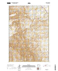
2020 Map of Brogan
USGS Topo · Published 2020About this map
The settlement of Brogan sits in the northeast corner of this high-desert landscape, serving as a focal point for a region defined by sophisticated water management. An extensive network of irrigation infrastructure, including the Low Line Ditch and High Line Ditch, underscores the agricultural importance of the valley floors. Water storage is critical here, as evidenced by several named catchments like Pritchard Reservoir, Lockett Reservoir, and Willow Cr Reservoir Four. To the west and south, the terrain rises toward Cottonwood Mountain and the high ground of Thorn Flat, carved by numerous drainages such as Pole Cr, Black Cr, and Poison Cr. Local history is anchored at the Brogan Cem along Cemetery Rd, while named springs like Buck Spring and Shell-Rock Spring indicate vital water sources in the more arid reaches of the quadrangle.
Find a feature on this map
41 named features on this map. Tap any name to fly to it.
Don’t see what you’re looking for? This feature index may not catch every label — zoom into the map to look around manually.
Map Details
Editions of this 2020 Brogan Map
This is the sole edition of this map. No revisions or reprints were ever made.
Other maps of this area
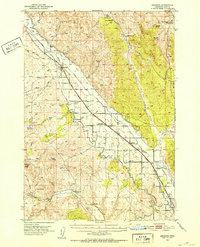
1950 · Jamieson
USGS Topo · 1:62,500
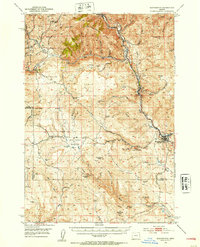
1951 · Huntington
USGS Topo · 1:62,500

1955 · Baker
USGS Topo · 1:250,000

1959 · Baker
USGS Topo · 1:250,000
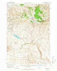
1964 · Bridgeport
USGS Topo · 1:62,500
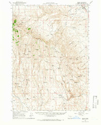
1964 · Brogan
USGS Topo · 1:62,500
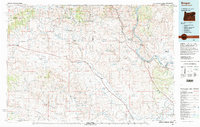
1980 · Brogan
USGS Topo · 1:100,000
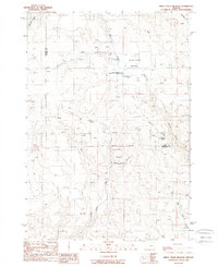
1988 · Birch Creek Meadow
USGS Topo · 1:24,000
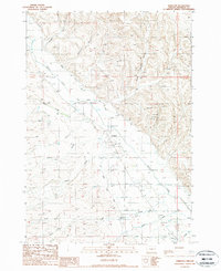
1988 · Jamieson
USGS Topo · 1:24,000
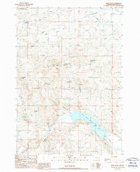
1988 · Hope Butte
USGS Topo · 1:24,000