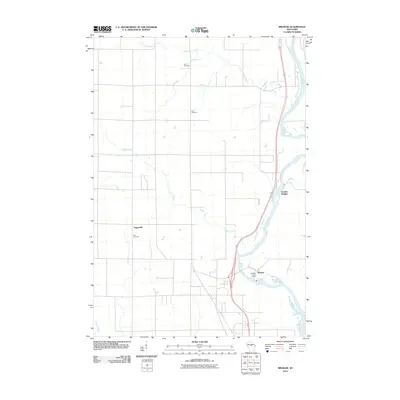
2010 Map of Brokaw
USGS Topo · Published 2010About this map
The Wisconsin River serves as the central artery for this portion of Marathon County, carving a path through a landscape of agricultural plots and riverfront settlements. In the village of Brokaw, the Brokaw Post Office stands near a pronounced bend in the river, anchoring a community historically tied to the water's edge. Further north, the settlement of Granite Heights overlooks the river valley, while the inland hamlet of Taegesville is situated west of the main channel.
Find a feature on this map
11 named features on this map. Tap any name to fly to it.
Don’t see what you’re looking for? This feature index may not catch every label — zoom into the map to look around manually.
Map Details
Editions of this 2010 Brokaw Map
This is the sole edition of this map. No revisions or reprints were ever made.
Other maps of this area

1899 · Wausau
USGS Topo · 1:125,000

1902 · Wausau
USGS Topo · 1:125,000

1902 · Marathon
USGS Topo · 1:125,000

1951 · Merrill
USGS Topo · 1:48,000

1951 · Hamburg
USGS Topo · 1:48,000

1953 · Wausau
USGS Topo · 1:48,000

1953 · Marathon
USGS Topo · 1:48,000

1954 · Iron Mountain
USGS Topo · 1:250,000

1955 · Green Bay
USGS Topo · 1:250,000

1959 · Iron Mountain
USGS Topo · 1:250,000