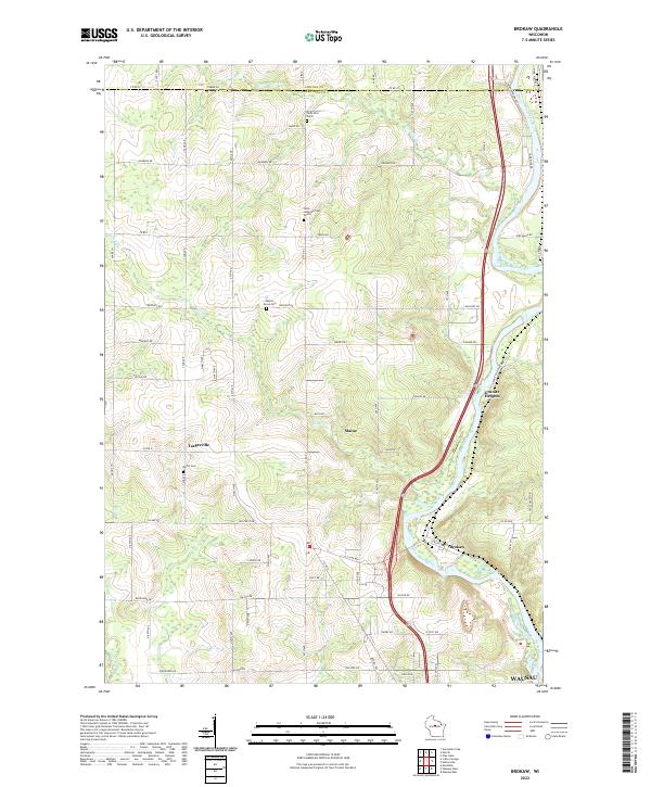
2022 Map of Brokaw
USGS Topo · Published 2022About this map
The Wisconsin River carves a deep valley through this northern Marathon County landscape, defining the industrial and social character of the region. Along its eastern banks, the settlement of Brokaw and the nearby Granite Heights represent the historic intersection of river-driven industry and the natural granite outcroppings that shaped local quarrying and milling. The terrain rises sharply from the riverbanks into the agricultural plateaus of Maine and Taegesville, where the township grid system is punctuated by small rural crossroads and family-named landmarks.
Find a feature on this map
71 named features on this map. Tap any name to fly to it.
Don’t see what you’re looking for? This feature index may not catch every label — zoom into the map to look around manually.
Map Details
Editions of this 2022 Brokaw Map
This is the sole edition of this map. No revisions or reprints were ever made.
Other maps of this area

1899 · Wausau
USGS Topo · 1:125,000

1902 · Wausau
USGS Topo · 1:125,000

1902 · Marathon
USGS Topo · 1:125,000

1951 · Merrill
USGS Topo · 1:48,000

1951 · Hamburg
USGS Topo · 1:48,000

1953 · Wausau
USGS Topo · 1:48,000

1953 · Marathon
USGS Topo · 1:48,000

1954 · Iron Mountain
USGS Topo · 1:250,000

1955 · Green Bay
USGS Topo · 1:250,000

1959 · Iron Mountain
USGS Topo · 1:250,000