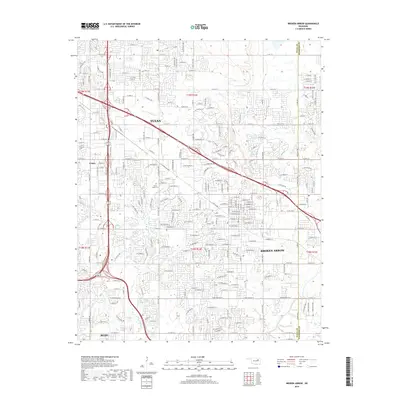
2019 Map of Broken Arrow
USGS Topo · Published 2019About this map
Tulsa and its southeastern neighbors are documented here during a period of significant suburban expansion and infrastructure development. The map details the residential and commercial growth of Broken Arrow and the northern edge of Bixby, showing how modern street grids have largely overtaken the landscape formerly defined by small rural drainages. Tracing the courses of Haikey Cr and Mingo Cr reveals the natural hydrology that persistent development has built around, while large commemorative spaces like Floral Haven Cem and Park Grove Cem serve as important landmarks for local historians and genealogists. The road network, including the diagonal path of the State Highway 51 corridor, illustrates the connectivity between these growing communities and the nearby unincorporated area of Union.
Find a feature on this map
192 named features on this map. Tap any name to fly to it.
Don’t see what you’re looking for? This feature index may not catch every label — zoom into the map to look around manually.
Map Details
Editions of this 2019 Broken Arrow Map
This is the sole edition of this map. No revisions or reprints were ever made.
Other maps of this area

1896 · Okmulgee
USGS Topo · 1:125,000

1900 · Okmulgee
USGS Topo · 1:125,000

1901 · Claremore
USGS Topo · 1:125,000

1914 · Claremore
USGS Topo · 1:125,000

1916 · Claremore
USGS Topo · 1:125,000

1946 · Fort Smith
USGS Topo · 1:250,000

1952 · Jenks
USGS Topo · 1:24,000

1954 · Tulsa
USGS Topo · 1:250,000

1954 · Tulsa
USGS Topo · 1:24,000

1955 · Mingo
USGS Topo · 1:24,000