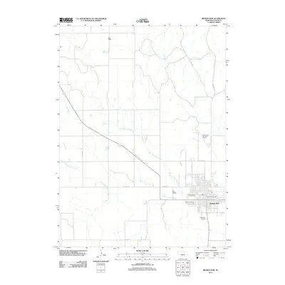
2011 Map of Broken Bow
USGS Topo · Published 2011About this map
The high plateau of East Table looks down upon the valley of Mud Creek in this 2011 survey of the Custer County landscape. The city of Broken Bow serves as the central hub, defined by a structured grid of streets including S 13th Ave and S N St. The surrounding terrain is deeply carved by a network of waterways including the North Branch Mud Creek and South Branch Mud Creek, which converge near the southern edge of the settlement.
Find a feature on this map
24 named features on this map. Tap any name to fly to it.
Don’t see what you’re looking for? This feature index may not catch every label — zoom into the map to look around manually.
Map Details
Editions of this 2011 Broken Bow Map
This is the sole edition of this map. No revisions or reprints were ever made.
Other maps of this area

1951 · Broken Bow NE
USGS Topo · 1:24,000

1951 · Broken Bow SW
USGS Topo · 1:24,000

1951 · Lillian
USGS Topo · 1:24,000

1951 · Anselmo
USGS Topo · 1:24,000

1951 · Broken Bow
USGS Topo · 1:24,000

1951 · Broken Bow SE
USGS Topo · 1:24,000

1951 · Merna
USGS Topo · 1:24,000

1951 · Callaway SE
USGS Topo · 1:24,000

1951 · Round Valley
USGS Topo · 1:24,000

1955 · Broken Bow
USGS Topo · 1:250,000