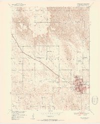
1951 Map of Broken Bow
USGS Topo · Published 1952About this map
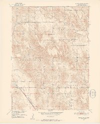
The city of Broken Bow serves as the focal point of this Custer County landscape, situated where the Chicago Burlington and Chicago railroad cuts diagonally across the terrain. This mid-century survey reveals a highly organized rural infrastructure, characterized by a dense network of country schools including East Table Sch, Sunny Dell Sch, and Prairie Center Sch that once anchored these prairie townships. The landscape transitions from the flat expanse of the Table in the northwest to the more complex topography of the Ryno Valley in the south.
Find a feature on this map
33 named features on this map. Tap any name to fly to it.
Don’t see what you’re looking for? This feature index may not catch every label — zoom into the map to look around manually.
Map Details
Editions of this 1951 Broken Bow Map
4 editions found
Other maps of this area
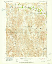
1951 · Broken Bow NE
USGS Topo · 1:24,000
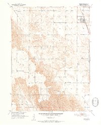
1951 · Broken Bow SW
USGS Topo · 1:24,000
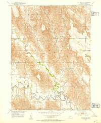
1951 · Lillian
USGS Topo · 1:24,000
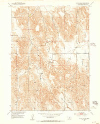
1951 · Anselmo
USGS Topo · 1:24,000
1951 · Broken Bow SE
USGS Topo · 1:24,000
1951 · Merna
USGS Topo · 1:24,000
1951 · Callaway SE
USGS Topo · 1:24,000
1951 · Round Valley
USGS Topo · 1:24,000

1955 · Broken Bow
USGS Topo · 1:250,000

1956 · Broken Bow
USGS Topo · 1:250,000