Loading...
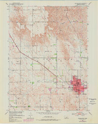
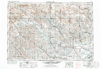
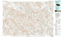
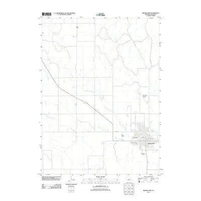
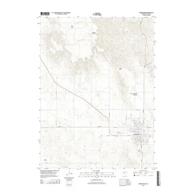
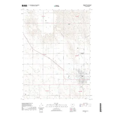
Loading map...1951 Map of Broken Bow
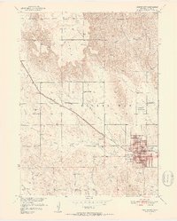
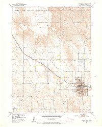
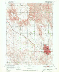
USGS Topo · Published 1978About this map
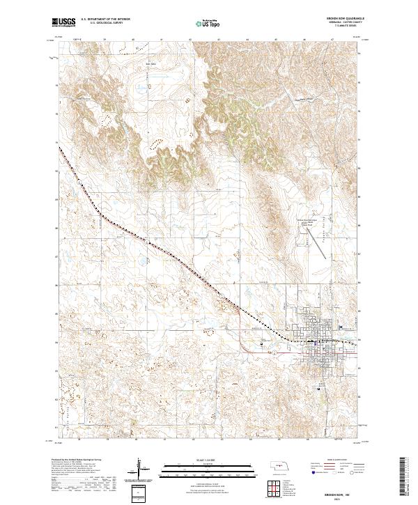
Broken Bow serves as the focal point of this Custer County landscape, shown here at the transition from the early 1950s to the late 1970s. The town's grid is anchored by essential civic structures including the Courthouse, Post Office, and Armory, while the Burlington Northern railroad cuts a diagonal path through the valley. The map reveals a highly organized rural infrastructure, with numerous country schools such as Sunny Dell Sch and Tappan Valley Sch spaced across the terrain to serve the surrounding farmsteads.
Find a feature on this map
34 named features on this map. Tap any name to fly to it.
Don’t see what you’re looking for? This feature index may not catch every label — zoom into the map to look around manually.
Map Details
Date Portrayed1951
Date Published1978
PublisherU.S. Geological Survey
Map TypeTopographic
Scale1:24,000
Physical Dimensions21.5 x 27.2 inches
Editions of this 1951 Broken Bow Map
4 editions found
Historical Maps of Broken Bow Through Time
8 maps found

Featured Locations
Source Details
SourceU.S. Geological Survey
CopyrightPublic Domain