
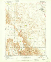
1951 Map of Merna
USGS Topo · Published 1952About this map
Merna serves as the central hub of this Nebraska landscape, situated at the junction of the Chicago Burlington and Quincy railroad. The surrounding countryside is defined by a series of distinct valleys and canyons, including Ortello Valley, Dale Valley, and Custer Canyon, reflecting the complex drainage patterns feeding into the South Branch Mud Creek.
Find a feature on this map
20 named features on this map. Tap any name to fly to it.
Don’t see what you’re looking for? This feature index may not catch every label — zoom into the map to look around manually.
Map Details
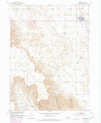
Editions of this 1951 Merna Map
3 editions found
Other maps of this area

1951 · Broken Bow SW
USGS Topo · 1:24,000

1951 · Lillian
USGS Topo · 1:24,000

1951 · Callaway NW
USGS Topo · 1:24,000

1951 · Anselmo
USGS Topo · 1:24,000

1951 · Broken Bow
USGS Topo · 1:24,000

1951 · Anselmo SW
USGS Topo · 1:24,000

1951 · Callaway SE
USGS Topo · 1:24,000

1951 · Callaway
USGS Topo · 1:24,000

1955 · Broken Bow
USGS Topo · 1:250,000

1956 · Broken Bow
USGS Topo · 1:250,000