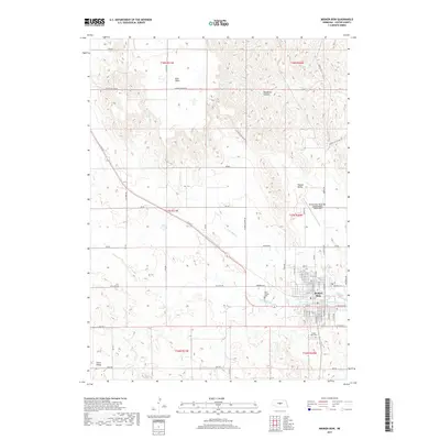
2017 Map of Broken Bow
USGS Topo · Published 2017About this map
Broken Bow sits at the heart of this Custer County landscape, where the street grid is meticulously detailed from N N St down to S N St. This 2017 survey by the U.S. Geological Survey illustrates the intersection of rural agriculture and municipal development, anchored by the Broken Bow Municipal Airport/Keith Glaze Field and important local sites like Saint Joseph Cem and Broken Bow Cem.
Find a feature on this map
49 named features on this map. Tap any name to fly to it.
Don’t see what you’re looking for? This feature index may not catch every label — zoom into the map to look around manually.
Map Details
Editions of this 2017 Broken Bow Map
This is the sole edition of this map. No revisions or reprints were ever made.
Other maps of this area

1951 · Broken Bow NE
USGS Topo · 1:24,000

1951 · Broken Bow SW
USGS Topo · 1:24,000

1951 · Lillian
USGS Topo · 1:24,000

1951 · Anselmo
USGS Topo · 1:24,000

1951 · Broken Bow
USGS Topo · 1:24,000

1951 · Broken Bow SE
USGS Topo · 1:24,000

1951 · Merna
USGS Topo · 1:24,000

1951 · Callaway SE
USGS Topo · 1:24,000

1951 · Round Valley
USGS Topo · 1:24,000

1955 · Broken Bow
USGS Topo · 1:250,000