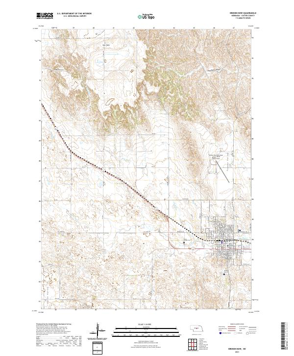
2021 Map of Broken Bow
USGS Topo · Published 2021About this map
Broken Bow serves as the focal point of this Custer County landscape, where the street grid of the county seat transitions into the expansive terrain of the Nebraska Sandhills. The town's civic heart is anchored by the Custer County Courthouse, while its infrastructure is defined by the Burlington Northern Santa Fe railroad line running through the valley. The geography is shaped by the drainage of Mud Cr and its tributaries, including N Br Mud Cr and S Br Mud Cr, which carve through features like East Table and Deadmans Canyon. These natural corridors have long dictated the placement of transportation routes like Cramer Canyon Rd and the Union Valley road system. Aviation history is represented by the Broken Bow Municipal Airport/Keith Glaze Field, and local heritage can be traced through the Broken Bow Cem and Saint Joseph Cem.
Find a feature on this map
66 named features on this map. Tap any name to fly to it.
Don’t see what you’re looking for? This feature index may not catch every label — zoom into the map to look around manually.
Map Details
Editions of this 2021 Broken Bow Map
This is the sole edition of this map. No revisions or reprints were ever made.
Other maps of this area

1951 · Broken Bow NE
USGS Topo · 1:24,000

1951 · Broken Bow SW
USGS Topo · 1:24,000

1951 · Lillian
USGS Topo · 1:24,000

1951 · Anselmo
USGS Topo · 1:24,000

1951 · Broken Bow
USGS Topo · 1:24,000

1951 · Broken Bow SE
USGS Topo · 1:24,000

1951 · Merna
USGS Topo · 1:24,000

1951 · Callaway SE
USGS Topo · 1:24,000

1951 · Round Valley
USGS Topo · 1:24,000

1955 · Broken Bow
USGS Topo · 1:250,000