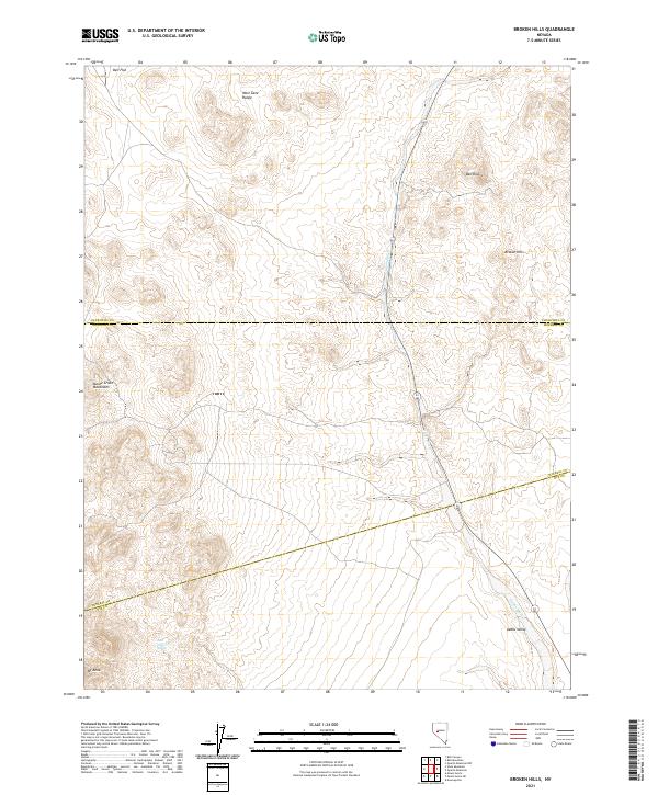
2021 Map of Broken Hills
USGS Topo · Published 2021About this map
Broken Hills sits at the intersection of three Nevada counties, serving as a focal point in a landscape defined by high desert basins and prominent peaks. This modern survey illustrates the rugged boundary where Churchill, Mineral, and Nye counties meet. The terrain is dominated by the Monte Cristo Mountains to the west and the West Gate Range to the north, overlooking the broad expanse of Bell Flat and Gabbs Valley. Natural water sources, often rare in this environment, are represented by Jack O'Connor Spring near the base of Mt Anna. Highway 361 provides the primary north-south artery through the region, following the natural course of Gabbs Wash through the valley floor. The map offers a clear view of the complex topography and section lines that govern this portion of the Great Basin.
Find a feature on this map
18 named features on this map. Tap any name to fly to it.
Don’t see what you’re looking for? This feature index may not catch every label — zoom into the map to look around manually.
Map Details
Editions of this 2021 Broken Hills Map
This is the sole edition of this map. No revisions or reprints were ever made.
Other maps of this area

1907 · Tonopah
USGS Topo · 1:250,000

1908 · Tonopah
USGS Topo · 1:250,000

1908 · Carson Sink
USGS Topo · 1:250,000

1909 · Hawthorne
USGS Topo · 1:250,000

1910 · Carson Sink
USGS Topo · 1:250,000

1911 · Hawthorne
USGS Topo · 1:250,000

1915 · Hawthorne
USGS Topo · 1:250,000

1948 · Paradise Peak
USGS Topo · 1:62,500

1948 · Walker Lake
USGS Topo · 1:250,000

1950 · Paradise Peak
USGS Topo · 1:62,500