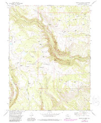
1974 Map of Broken Rib Creek
USGS Topo · Published 1988About this map
The White River National Forest defines this high-elevation landscape in Garfield County, where the 1974 topography reveals a network of springs and rugged drainages. The map centers on the deep canyons of Deep Creek and the intricate hydrology of the Broken Rib Creek area. Significant landmarks like Indian Cave and various unnamed Caves suggest the karst-like character of the terrain, while the Deep Creek Overlook provides a vantage point over the converging waters of Monegar Creek and Jack Creek. Human presence is marked by a series of primitive routes, including a Pack Trail and Jeep Trail, that connect remote points like Crane Park and Coyote Park. The Coffee Pot Spring Campground near Coffee Pot Road serves as a hub for those navigating the high ridges, such as Burnt Tree Ridge, which overlook the steep descents toward the Falls on the lower creeks.
Find a feature on this map
42 named features on this map. Tap any name to fly to it.
Don’t see what you’re looking for? This feature index may not catch every label — zoom into the map to look around manually.
Map Details
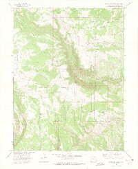
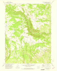
Editions of this 1974 Broken Rib Creek Map
3 editions found
Other maps of this area

1927 · Glenwood Springs
USGS Topo · 1:125,000

1930 · Glenwood Springs
USGS Topo · 1:125,000

1957 · Leadville
USGS Topo · 1:250,000

1959 · Leadville
USGS Topo · 1:250,000

1960 · Leadville
USGS Topo · 1:250,000

1961 · Cottonwood Pass
USGS Topo · 1:24,000

1961 · Shoshone
USGS Topo · 1:24,000

1961 · Glenwood Springs
USGS Topo · 1:24,000

1962 · Leadville
USGS Topo · 1:250,000

1964 · Leadville
USGS Topo · 1:250,000