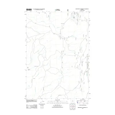
2012 Map of Brokenback Narrows
USGS Topo · Published 2012About this map
Brokenback Narrows defines the central geography of this Big Horn County landscape, where the seasonal drainage of Brokenback Cr carves through the terrain. The map details a complex network of hydrologic features including S Fork Brokenback Cr, Buckskin Ed Cr, and Salt Lick Cr, which illustrate the high-desert drainage patterns. Early 21st-century recreation and access are evident through the presence of Boulder Park Campground and Soldier Creek Camp, alongside established routes like N Brokenback Rd.
Find a feature on this map
23 named features on this map. Tap any name to fly to it.
Don’t see what you’re looking for? This feature index may not catch every label — zoom into the map to look around manually.
Map Details
Editions of this 2012 Brokenback Narrows Map
This is the sole edition of this map. No revisions or reprints were ever made.
Other maps of this area

1899 · Cloud peak
USGS Topo · 1:125,000

1901 · Cloud Peak
USGS Topo · 1:125,000

1955 · Sheridan
USGS Topo · 1:250,000

1958 · Sheridan
USGS Topo · 1:250,000

1960 · Lake Solitude
USGS Topo · 1:24,000

1962 · Sheridan
USGS Topo · 1:250,000
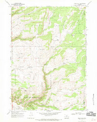
1967 · Onion Gulch
USGS Topo · 1:24,000
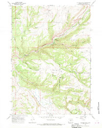
1967 · Old Maid Gulch
USGS Topo · 1:24,000
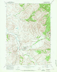
1967 · Ten Sleep
USGS Topo · 1:24,000

1967 · Brokenback Narrows
USGS Topo · 1:24,000