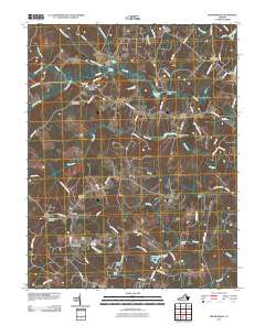
2010 Map of Brokenburg
USGS Topo · Published 2010About this map
Brokenburg and Post Oak anchor this rural landscape in central Virginia, where a network of small settlements and family-named corners defines the region's geography. The area is intersected by the winding paths of the Po River and Ta River, which dictate the placement of early infrastructure like the Corbin Bridge and Dillard Bridge. Genealogists will find significant value in the distribution of local burial grounds, including Hebron Cemetery, Goshen Cemetery, and the Mine Road Cemetery. The presence of Todds Tavern in the north and landmarks like the Spotsylvania Lookout Tower reflect a community shaped by long-standing crossroads and timber observation. This survey documents the transition of colonial-era routes into modern thoroughfares such as Robert E Lee Dr and Catharpin Rd, maintaining the footprint of historic Spotsylvania County as it appeared in the early 21st century.
Find a feature on this map
80 named features on this map. Tap any name to fly to it.
Don’t see what you’re looking for? This feature index may not catch every label — zoom into the map to look around manually.
Map Details
Editions of this 2010 Brokenburg Map
This is the sole edition of this map. No revisions or reprints were ever made.
Other maps of this area

1887 · Spottsylvania
USGS Topo · 1:125,000

1892 · Spottsylvania
USGS Topo · 1:125,000

1942 · Ladysmith
USGS Topo · 1:31,680

1942 · Partlow
USGS Topo · 1:31,680

1942 · Belmont
USGS Topo · 1:31,680

1942 · Contrary Creek
USGS Topo · 1:31,680

1942 · Spotsylania
USGS Topo · 1:31,680

1942 · Brokenburg
USGS Topo · 1:31,680

1943 · Chancellorsville
USGS Topo · 1:24,000

1943 · Salem Church
USGS Topo · 1:24,000