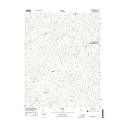
2016 Map of Brokenburg
USGS Topo · Published 2016About this map
Fredericksburg and Spotsylvania National Military Park lands occupy the eastern portion of this landscape, marking preserved ground within a network of historic rural crossroads. The area's settlement pattern is defined by nodes like Todds Tavern and Post Oak, connected by winding roads that cross the Po River and its numerous tributaries such as Glady Run and Black Rock Run. Genealogists will find several burial sites preserved among the woods and fields, including Shady Grove Cem, Hebron Cem, and the uniquely named Little Mine Road Cem. In the north, the Ni River Reservoir provides a significant water feature near Goshen Baptist Cem, while the southern reaches center around the community of Brokenburg. The terrain is deeply etched by a dense drainage system, where the Catharpin Run and Greenfield Cr flow through a landscape of managed forests and small clearings, illustrating the persistent rural character of this part of Spotsylvania County.
Find a feature on this map
113 named features on this map. Tap any name to fly to it.
Don’t see what you’re looking for? This feature index may not catch every label — zoom into the map to look around manually.
Map Details
Editions of this 2016 Brokenburg Map
This is the sole edition of this map. No revisions or reprints were ever made.
Other maps of this area

1887 · Spottsylvania
USGS Topo · 1:125,000

1892 · Spottsylvania
USGS Topo · 1:125,000

1942 · Ladysmith
USGS Topo · 1:31,680

1942 · Partlow
USGS Topo · 1:31,680

1942 · Belmont
USGS Topo · 1:31,680

1942 · Contrary Creek
USGS Topo · 1:31,680

1942 · Spotsylania
USGS Topo · 1:31,680

1942 · Brokenburg
USGS Topo · 1:31,680

1943 · Chancellorsville
USGS Topo · 1:24,000

1943 · Salem Church
USGS Topo · 1:24,000