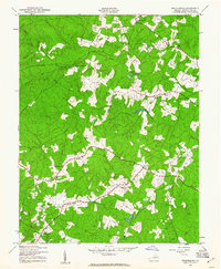
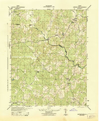
1942 Map of Brokenburg
USGS Topo · Published 1961About this map
The Po River and Ta River systems define this rural landscape of central Spotsylvania County, where a network of historic crossroads settlements supported a farming and timber economy. Mapped by the Army Map Service during the early 1940s, the terrain is characterized by winding ridges separated by named drainage runs like Catharpin Run and Gladys Run. Local social life centered on several country churches, including Shady Grove Ch, Hebron Ch, and Lebanon Ch. Notable centers of trade and travel appear at Todds Tavern in the north and the village of Brokenburg in the south. The presence of a Lookout Tower near Shady Grove Corner reflects the vital importance of forestry management in this heavily wooded Virginia Piedmont region during the mid-20th century.
Find a feature on this map
23 named features on this map. Tap any name to fly to it.
Don’t see what you’re looking for? This feature index may not catch every label — zoom into the map to look around manually.
Map Details
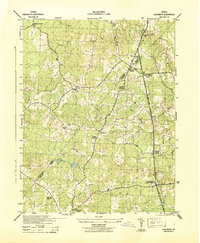
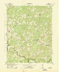
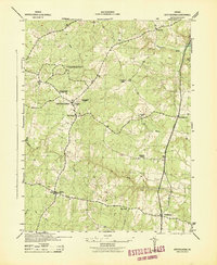
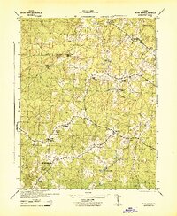
Editions of this 1942 Brokenburg Map
2 editions found
Other maps of this area

1887 · Spottsylvania
USGS Topo · 1:125,000

1892 · Spottsylvania
USGS Topo · 1:125,000
1942 · Ladysmith
USGS Topo · 1:31,680
1942 · Partlow
USGS Topo · 1:31,680
1942 · Belmont
USGS Topo · 1:31,680
1942 · Contrary Creek
USGS Topo · 1:31,680
1942 · Spotsylania
USGS Topo · 1:31,680
1942 · Brokenburg
USGS Topo · 1:31,680

1943 · Chancellorsville
USGS Topo · 1:24,000

1943 · Salem Church
USGS Topo · 1:24,000