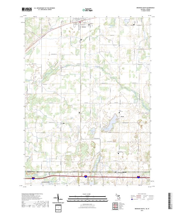
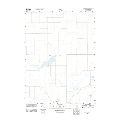
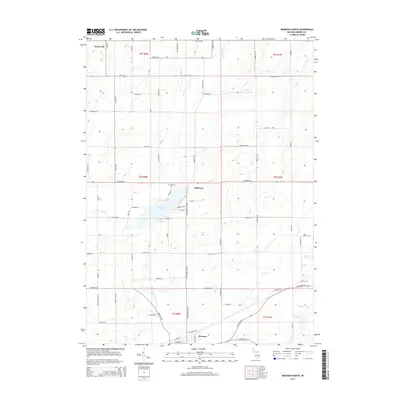
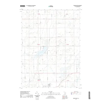
2023 Map of Bronson South
USGS Topo · Published 2023About this map
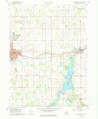
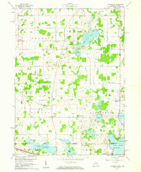
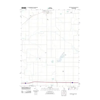
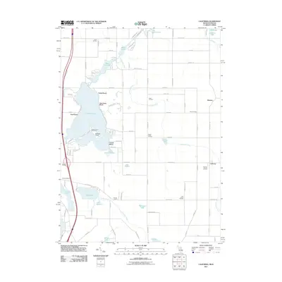
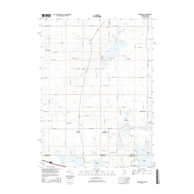
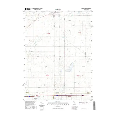
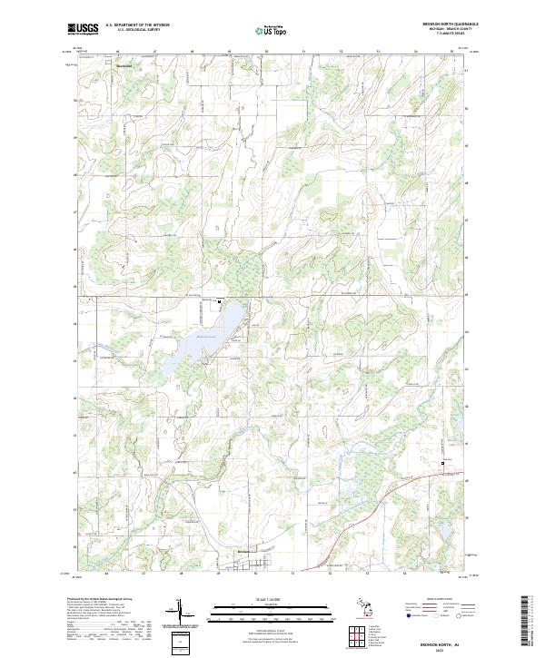
Bronson stands at the northern edge of this landscape, where the street grid of E Chicago St and Franklin St gives way to the agricultural expanses of Branch County. The terrain is defined by a dense network of glacial lakes and watercourses, including the winding Prairie River and Gilead Lake. Near the southern border, the Fawn River flows through Greenfield Mills as the landscape crosses the Michigan Indiana state line into LaGrange and Steuben counties.
Find a feature on this map
89 named features on this map. Tap any name to fly to it.
Don’t see what you’re looking for? This feature index may not catch every label — zoom into the map to look around manually.
Map Details
Editions of this 2023 Bronson South Map
This is the sole edition of this map. No revisions or reprints were ever made.
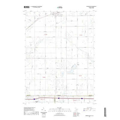
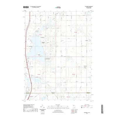
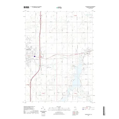
Historical Maps of Bronson Through Time
36 maps found
1960 Bronson North
Branch County, MI
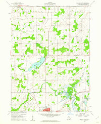
1960 Bronson South
Branch County, MI
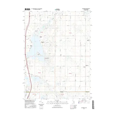
1960 California
Branch County, MI
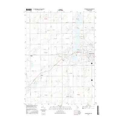
1960 Coldwater East
Branch County, MI

1960 Coldwater West
Branch County, MI
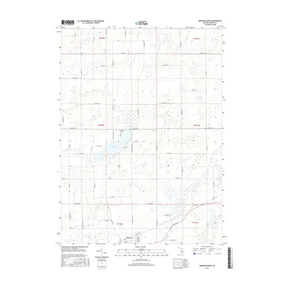
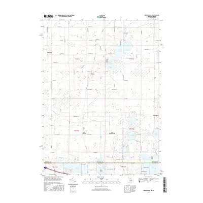
1960 Kinderhook
Branch County, MI
2011 Bronson North
Branch County, MI
2011 Bronson South
Branch County, MI
2011 California
Branch County, MI
2011 Coldwater East
Branch County, MI
2011 Coldwater West
Branch County, MI
2011 Kinderhook
Branch County, MI
2014 Bronson North
Branch County, MI
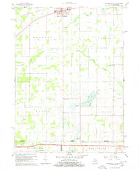
2014 Bronson South
Branch County, MI
2014 California
Branch County, MI
2014 Coldwater East
Branch County, MI
2014 Coldwater West
Branch County, MI
2014 Kinderhook
Branch County, MI
2017 Bronson North
Branch County, MI
2017 Bronson South
Branch County, MI
2017 California
Branch County, MI
2017 Coldwater East
Branch County, MI
2017 Coldwater West
Branch County, MI
2017 Kinderhook
Branch County, MI
2019 Bronson North
Branch County, MI
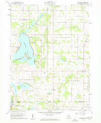
2019 Bronson South
Branch County, MI
2019 California
Branch County, MI
2019 Coldwater East
Branch County, MI
2019 Coldwater West
Branch County, MI
2019 Kinderhook
Branch County, MI
2023 Bronson North
Branch County, MI
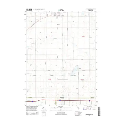
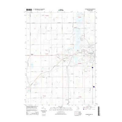
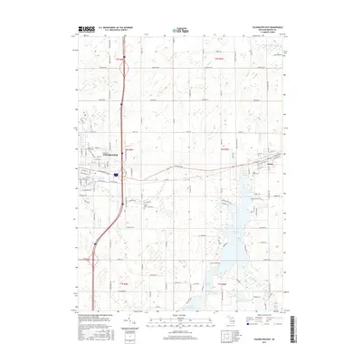
2023 Bronson South
Branch County, MI
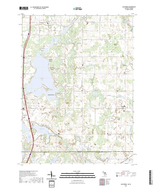
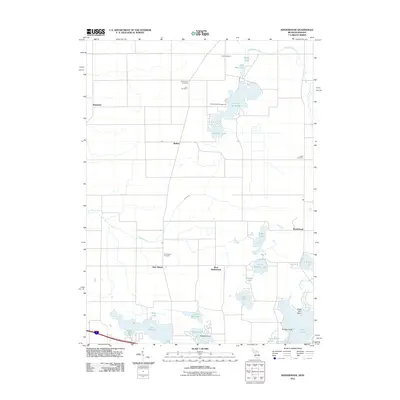
2023 California
Branch County, MI
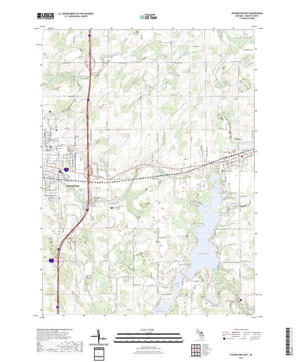
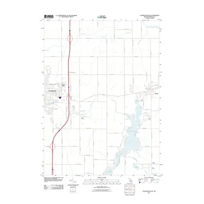
2023 Coldwater East
Branch County, MI
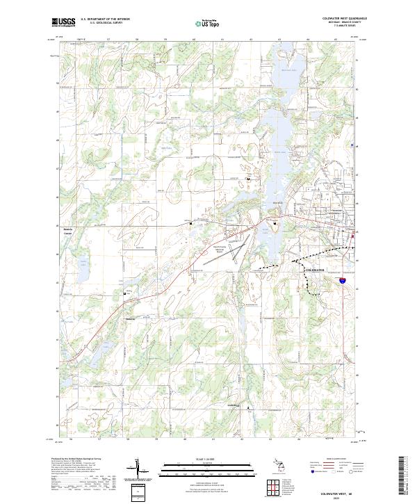
2023 Coldwater West
Branch County, MI
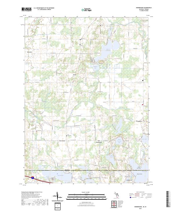
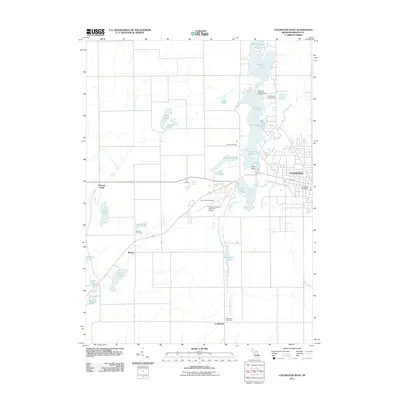
2023 Kinderhook
Branch County, MI