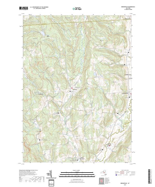
2023 Map of Brookfield
USGS Topo · Published 2023About this map
Beaver Creek and the Unadilla River anchor this landscape at the intersection of Madison, Oneida, and Otsego counties. The settlement of Brookfield serves as a central hub, situated along the historic Skaneateles Tpke and surrounded by a network of upland ridges including Beaver Hill and Mount Hunger. For genealogists, the map is remarkably dense with burial sites, preserving the locations of numerous family-named grounds such as the Crumb Cem, Hoxie Cem, and Lamb Cem.
Find a feature on this map
102 named features on this map. Tap any name to fly to it.
Don’t see what you’re looking for? This feature index may not catch every label — zoom into the map to look around manually.
Map Details
Editions of this 2023 Brookfield Map
This is the sole edition of this map. No revisions or reprints were ever made.
Other maps of this area

1907 · Winfield
USGS Topo · 1:62,500

1907 · Sangerfield
USGS Topo · 1:62,500

1910 · Hartwick
USGS Topo · 1:62,500

1910 · New Berlin
USGS Topo · 1:62,500

1912 · New Berlin
USGS Topo · 1:62,500

1912 · Hartwick
USGS Topo · 1:62,500

1943 · New Berlin North
USGS Topo · 1:24,000

1943 · Hubbardsville
USGS Topo · 1:24,000

1943 · Cassville
USGS Topo · 1:24,000

1943 · Unadilla Forks
USGS Topo · 1:24,000