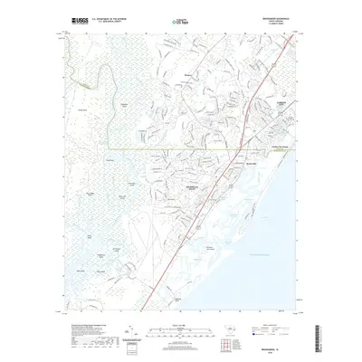
2020 Map of Brookgreen
USGS Topo · Published 2020About this map
Murrells Inlet serves as the focal point of this coastal landscape, where the labyrinthine marshes and tidal creeks of the Atlantic coast meet established Lowcountry communities. The map highlights a complex hydrographic network, including the Waccamaw River and the Intracoastal Waterway, which separate the mainland from substantial landforms like Sandy Island and Richmond Island. These waterways have long dictated the settlement patterns and economy of the region, from early agricultural transport to modern maritime recreation.
Find a feature on this map
201 named features on this map. Tap any name to fly to it.
Don’t see what you’re looking for? This feature index may not catch every label — zoom into the map to look around manually.
Map Details
Editions of this 2020 Brookgreen Map
This is the sole edition of this map. No revisions or reprints were ever made.
Other maps of this area
1937 · Myrtle Beach
USGS Topo · 1:48,000
1940 · Myrtle Beach
USGS Topo · 1:62,500
1942 · Magnolia Beach
USGS Topo · 1:24,000
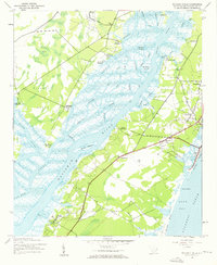
1942 · Waverly Mills
USGS Topo · 1:24,000
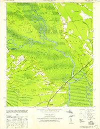
1943 · Yauhannah
USGS Topo · 1:24,000
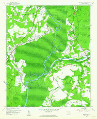
1943 · Bucksville
USGS Topo · 1:24,000
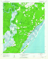
1943 · Brookgreen
USGS Topo · 1:24,000
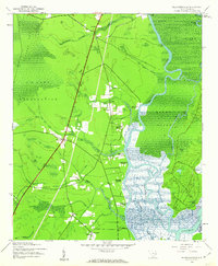
1943 · Plantersville
USGS Topo · 1:24,000

1949 · Georgetown
USGS Topo · 1:250,000
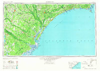
1967 · Georgetown
USGS Topo · 1:250,000
Featured Places
- Garden City Beach, SC
- Murrells Inlet, SC
- Mulberry Landing, SC
- Wachesaw Landing, Murrells Inlet
- Longwood Landing, SC