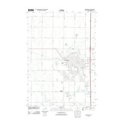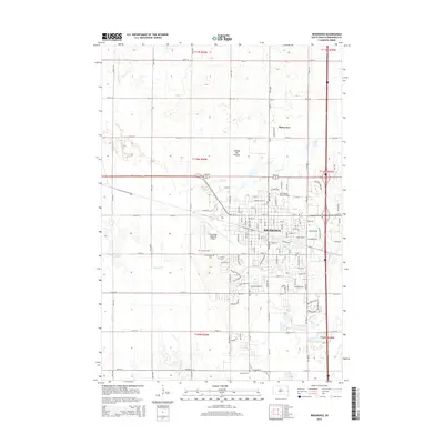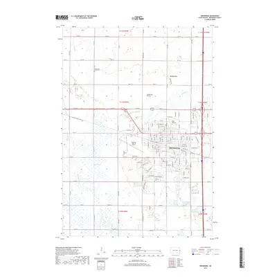
2021 Map of Brookings
USGS Topo · Published 2021About this map
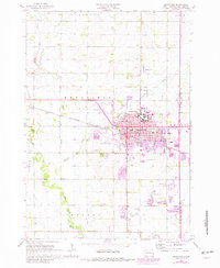
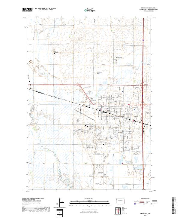
The South Dakota State University campus serves as a central landmark in this 2021 study of eastern South Dakota, positioned at the heart of the Brookings community. The map details the transition from the city’s grid, which includes the Brookings County Courthouse and Brookings Regional Airport, to the surrounding agricultural landscape of the Coteau des Prairies. This upland plateau is bisected by the Big Sioux River and its tributaries, including Sixmile Cr and N Deer Cr.
Find a feature on this map
133 named features on this map. Tap any name to fly to it.
Don’t see what you’re looking for? This feature index may not catch every label — zoom into the map to look around manually.
Map Details
Editions of this 2021 Brookings Map
This is the sole edition of this map. No revisions or reprints were ever made.
Historical Maps of Brookings Through Time
6 maps found